Fort Lauderdale International Boat Show Maps
For information about the Fort Lauderdale International Boat Show visit FLIBS.com
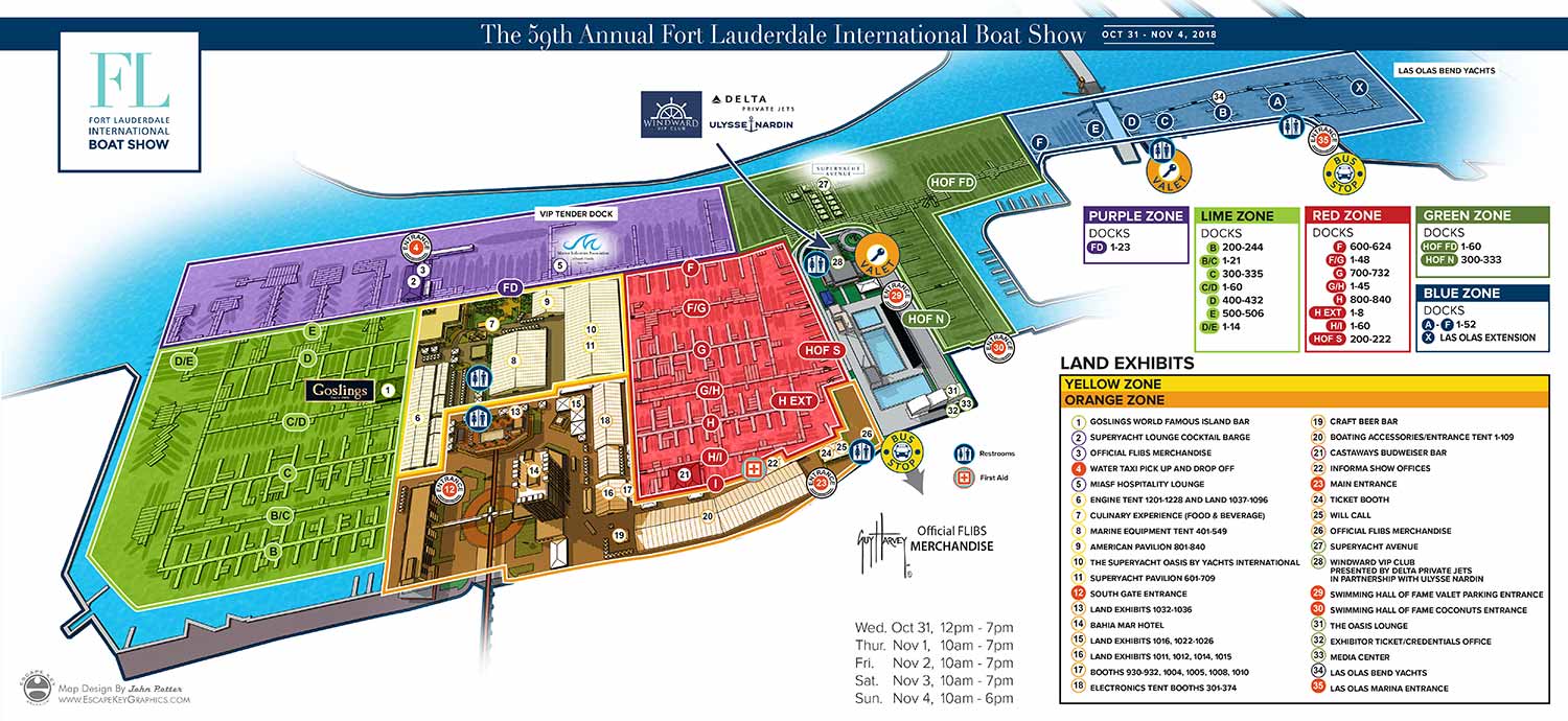
Click on the image above to see a zoomable version.
This year you can use these maps on your site for free using an easy to use iframe. See instructions and terms below.
If you would like a quote for your own illustrated map or commercial use of this map please contact me.
ABOUT THE FORT LAUDERDALE INTERNATIONAL BOAT SHOW:
Held in Fort Lauderdale, “SUPERYACHT CAPITAL OF THE WORLD" The Fort Lauderdale International Boat Show, which is referred to as FLIBS by folks in the industry, is the largest boat show in the world. Of course this depends on the unit of measure you choose, but at 278,000 square meters, multiple locations, attendance around 100,000 and exhibitors at around 1000 it is inarguably huge. A visitor can expect to see around 150,000 yachts and superyachts, exotic car displays and more. It is said to provide a statewide economic benefit of $857 million which is more than a $100 million a day.
I illustrated the primary map for FLIBS from 2010 to 2022 (with the exception of 2021). In that time I changed the style, the software I use and changed things up to improve the map as the show also gew. This has all taken place working closely with the staff of Show management which is now Informa Markets. In addition to the primary map I illustrate maps for use in the phone app, on signs and for multiple locations including the convention center.