Tag: illustrated map
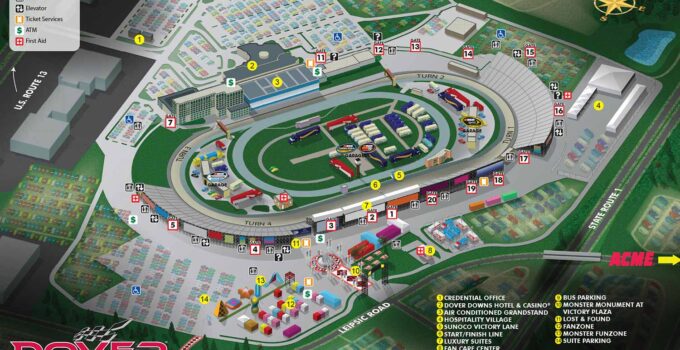
An Illustrated Map for an International Speedway- Speedway Illustrated Map I just completed a speedway illustrated map for The Dover International Speedway in Dover Delaware. The Dover International Speedway …
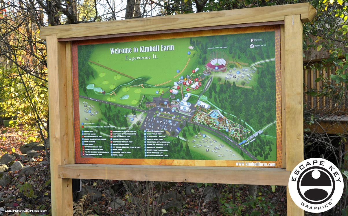
Illustrated Map for a Tourist Attraction - Tourist Attraction Illustrated Map Miniature Golf Section Of The Map I was recently subcontracted by Belgraphix, a full service graphics shop in …
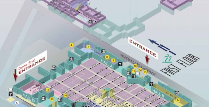
Boat Show Illustrated Maps - Illustrated Maps for Boat Shows in Miami Boat Show Illustrated Maps - Once again it's time for The Miami Boat Show (February 16th-20th, 2012), …
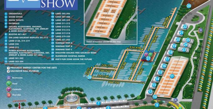
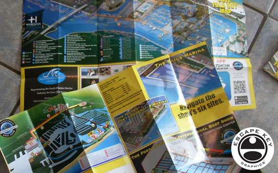
Boat Show Visitor Maps - Illustrated Map for a Boat Show Boat Show Visitor Maps - This is my first year of designing and illustrating the map for the …
Map Uses Map Uses - I just want to make a short post highlighting some of the many ways the 2011 Fort Lauderdale International Boat Show map has been …
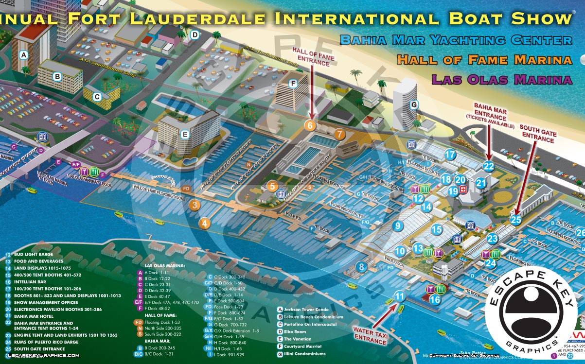
Illustrated Boat Show Map Once again it's time for the Fort Lauderdale International Boat Show. This time it's the 52nd Fort Lauderdale International Boat Show and I have been …
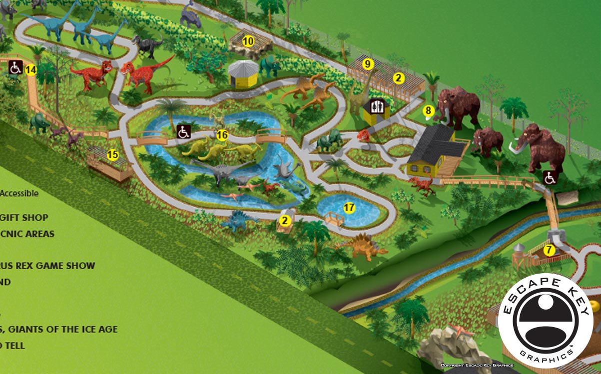
Illustrated Map for a Tourist Attraction You may recall that I designed a theme park visitor map back in March 2010. The park has now expanded and thus needed …
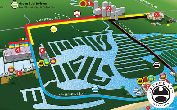
Illustrated Transit Map - Illustrated Bus Route Map Illustrated Transit Map - One of my recent projects has been an overview map of the separate venues that constitute the …
