Tag: illustrated map
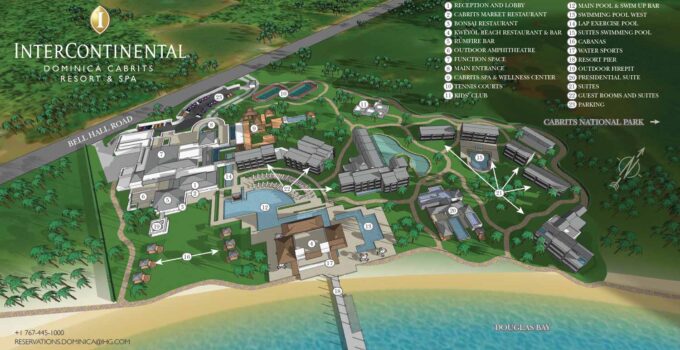
Illustrated map of the Cabrits Resort and Spa Kempinski in Dominica Illustrator: John Potter - Escape Key Graphics Art Direction: Claire Kunzman - Anything But Advertising This post is …
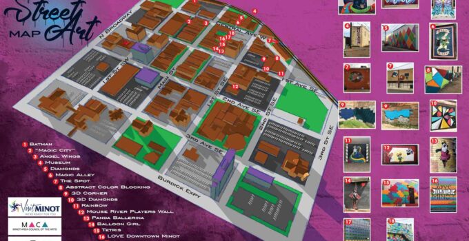
Illustrated map showing where to find street art Design and illustration by John Potter - Escape Key Graphics For the latest information about the Minot, ND and the newest …
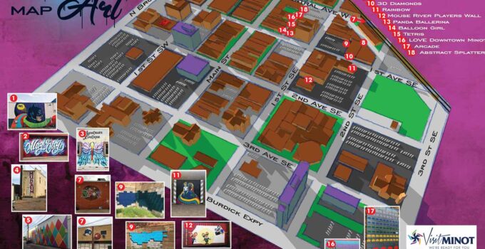
Illustrated map showing locations of street art Design and illustration by John Potter - Escape Key Graphics For the latest information about the Minot, ND and the newest map …
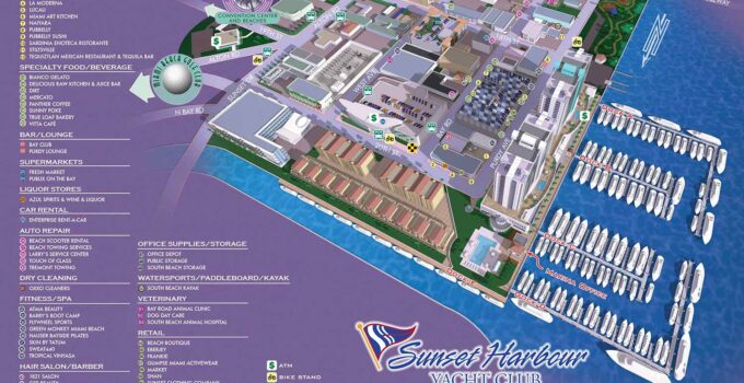
Back Lit Sign for Sunset Harbour Yacht Club Illustration and Design by John Potter - Escape Key Graphics I was recently contracted by Sunset Harbour Yacht Club to update …
Miami Yachts Show Map Illustration by John Potter - Escape Key Graphics For information about the Miami Yachts Show visit MiamiYachtShow.com Click on the image above to see a …
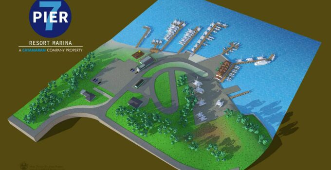
An illustrated aerial view of a resort marina in Edgewater, Maryland for customers and visitors to find their way around the facilities
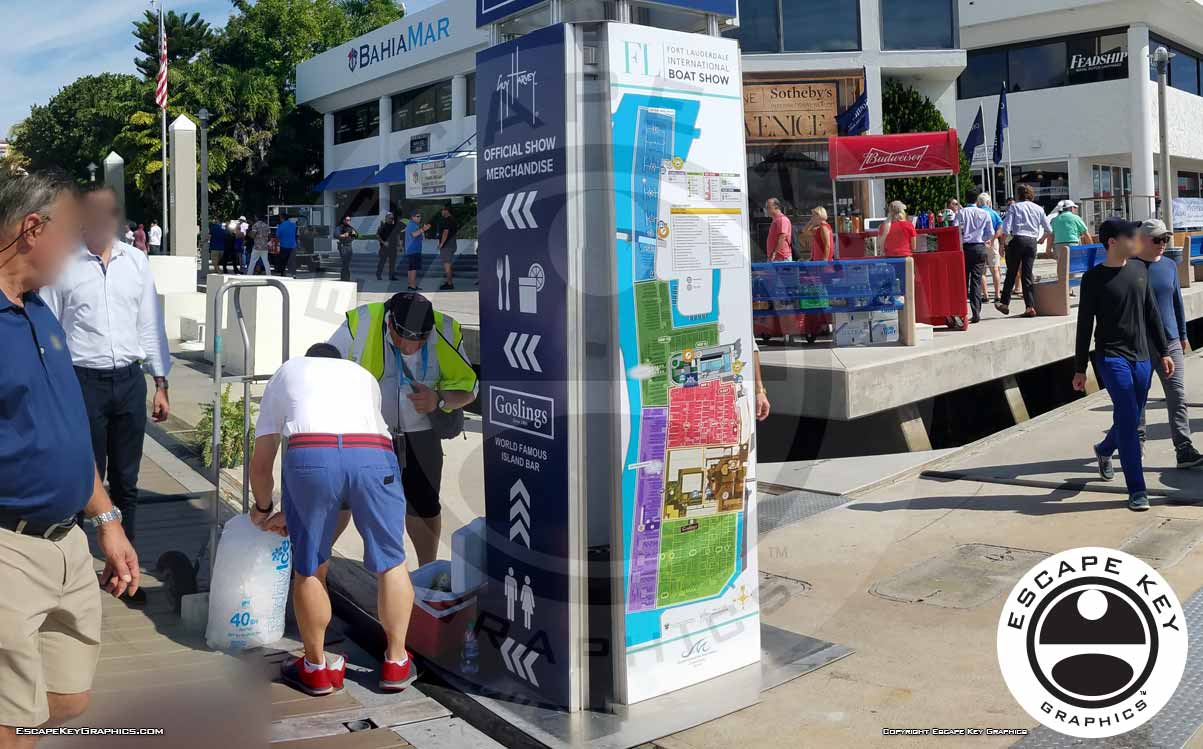
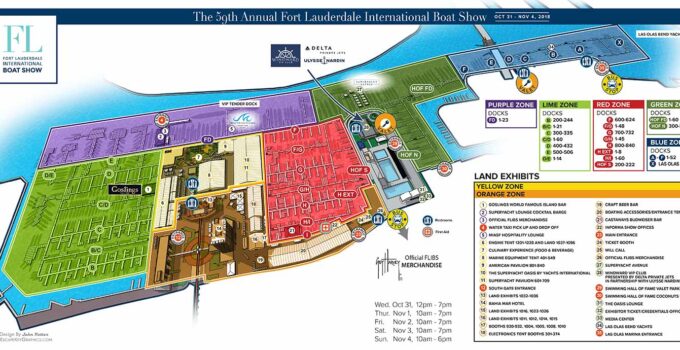
Illustration and design of maps as signs for the 2018 the Fort Lauderdale International Boat Show For information about the Fort Lauderdale International Boat Show visit FLIBS.com See the …
Fort Lauderdale International Boat Show Maps Illustration by John Potter - Escape Key Graphics For information about the Fort Lauderdale International Boat Show visit FLIBS.com Click on the image …
