Public Park Illustrated Map
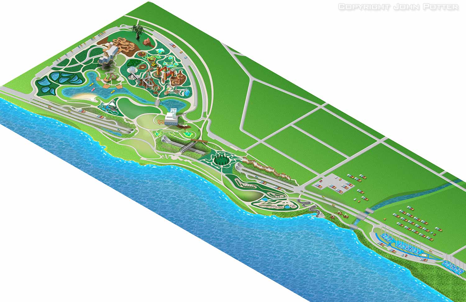 This project was brought to me by Speak Creative in Nashville, Tennessee. Right off I have to say that their staff had already made a very good overhead, vector based map that served as the basis of the work I did. Their client who was building a large public park in Tulsa, Oklahoma called The Gathering Place wanted a classic axonometric theme park style illustrated map.
 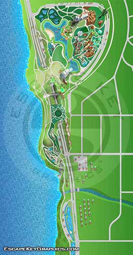 In the end I also supplied a flattened, overhead view of the fully illustrated version that may be integrated into an app. Jacob Savage and the rest of the people at Speak Creative were great to work with. They provided excellent direction and communication. I look forward to our next project together.
ILLUSTRATED PARK MAPS:
Illustrated park maps play an important role in helping visitors feel comfortable, informed, and confident as they explore a space. If you manage a botanical garden, work for a Parks and Recreation department, or oversee a public attraction, clear wayfinding is a key part of creating a positive guest experience. A well designed map reduces confusion, supports accessibility, and allows visitors to focus on enjoying the park rather than trying to figure out where they are.
The term park covers a wide range of destinations, from neighborhood ball fields and community parks to large nature preserves, wildlife sanctuaries, botanical gardens, theme parks, and agritourism venues. Over the years I have illustrated maps for many types of parks, each with its own layout, audience, and goals. In every case, the objective is the same: to present geographic information in a way that is easy to understand, visually engaging, and appropriate for the setting.
Each illustrated park map is tailored to the specific site and its visitors. Some projects call for a more realistic representation of the landscape, while others benefit from a lighter, more playful illustration style. Factors such as size, visitor flow, signage needs, and branding all influence the final approach. When you contact me about a park map, we will discuss your goals and challenges in detail and determine the style and level of detail that best supports your venue and your guests.
WHAT ARE AXONOMETRIC AND ISOMETRIC ILLUSTRATIONS?:
Axonometric and isometric drawings don’t have realistic perspective. I use specific mathematical formulas to draw this way. In these images things further away don’t appear smaller and therefore have equal weight of importance to things nearby. My axonometric maps and illustrations are generally bold and have a slightly cartoon like look. This method of rendering perspective is commonly used in technical and engineering drawings. I began using this method of drawing as an illustration tool in 2007.
The difference between isometric and axonometric is isometric drawings are really just from a straight on corner angle but axonometric drawings can be from other angles. Most of my illustrations have parts that are isometric, but are largely axonometric. I have a habit of calling them all isometric, but I shouldn't.