Tag: illustrated map
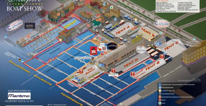
Axonometric Illustrated Map of one of the most popular boat shows in America I'm honored to be working another year on the Newport International Boat Show map with The …
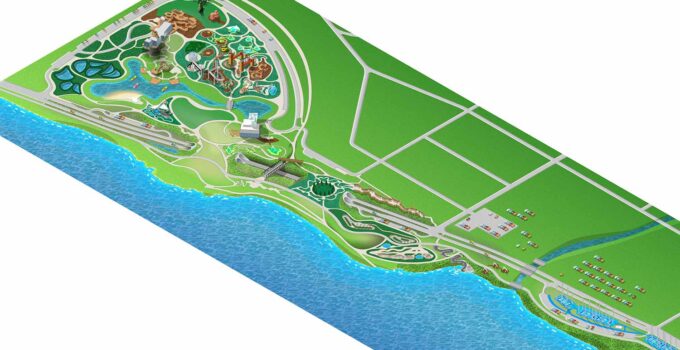
Public Park Illustrated Map This project was brought to me by Speak Creative in Nashville, Tennessee. Right off I have to say that their staff had already made a …
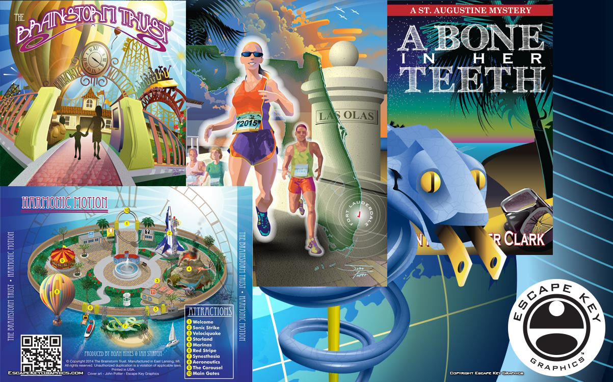
New Illustration, Art and Map Portfolios I've just created a series of portfolios in addition to my primary portfolio. It's come to my attention that sometimes potential clients need …
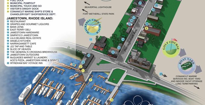
Marina and Adjacent Village Map Marina and Adjacent Village Map - I've just completed two maps for Conanicut Marina in my father's home town of Jamestown, RI. The first …
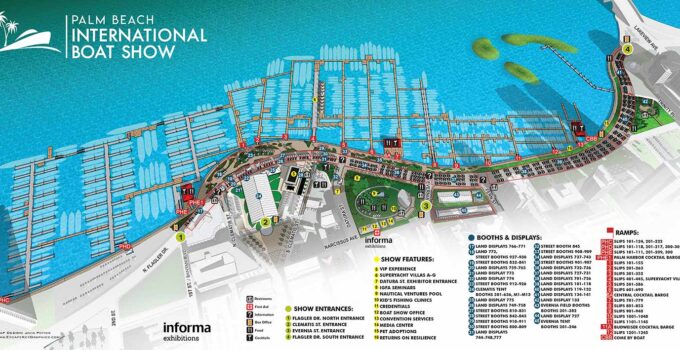
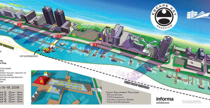
Custom Illustrated Maps by Illustrator John Potter for the 2018 Palm Beach International Boat Show I've updated the illustrated aerial maps I created for the Palm Beach International Boat …
Miami Yacht Show Maps Once again it's time for the Miami Yacht Show, formerly known as Yachts Miami Beach and at one time the The Yacht and Brokerage Show …
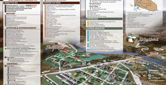
Tourist Friendly Town Illustrated Map - Illustrated town map revisions I just made some revisions to the map I created some time back of Medora, North Dakota. Medora is …
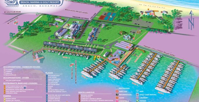
Resort Marina Map - Illustrated map revisions Resort Marina Map - I just made some revisions to the marina and resort maps of Treasure Cay Marina showing some dockage …
