Tag: FLIBS
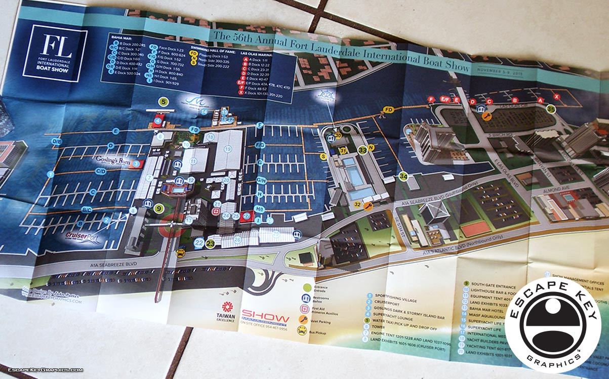
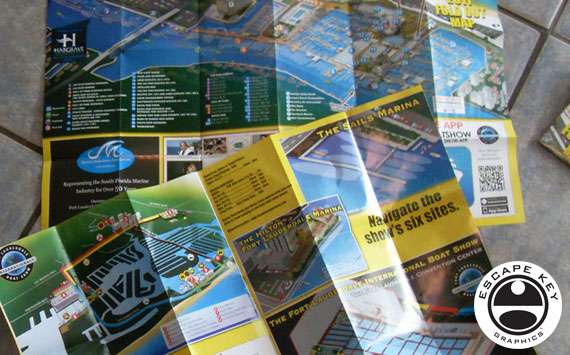
Folding Map Designs - Folding illustrated map for a boat show Folding Map Designs - This year Show Management will be providing these handy folding maps at the information …
Illustrations Used by a Boat Show Two of my illustrations were used to promote this years Fort Lauderdale International Boat Show. I will give a little behind the scenes …
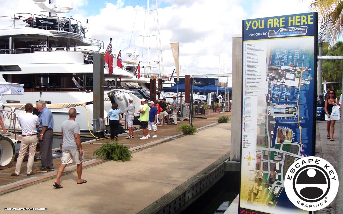
Illustrated Maps as Signage at a Boat Show - Boat Show Map Signs In addition to the primary 2013 Fort Lauderdale International Boat Show map, the map for the …
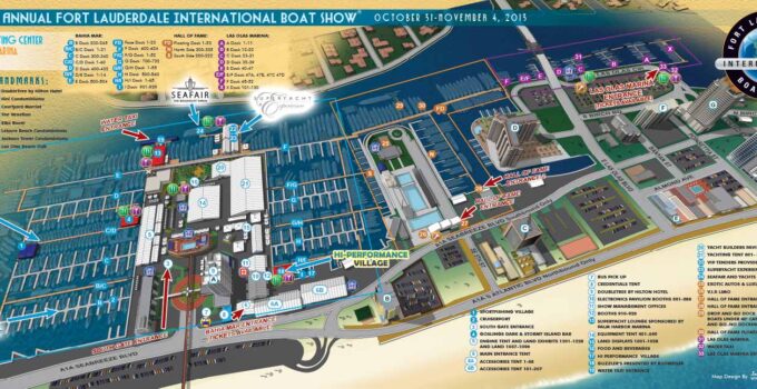
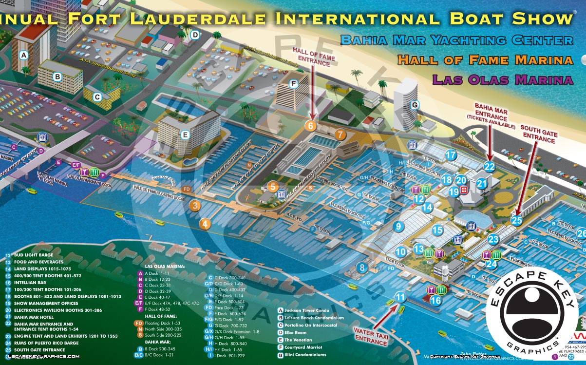
Illustrated Maps for a Boat Show Illustrated Maps for a Boat Show - I'm pleased to unveil the 2013 Fort Lauderdale International Boat Show Map. It's very exciting to …
Boat Show Illustration Boat Show Illustration Finished illustration Outline preview in Illustrator The illustration was created in Adobe Illustrator with a lot of freehand sketching for reference. I wanted …
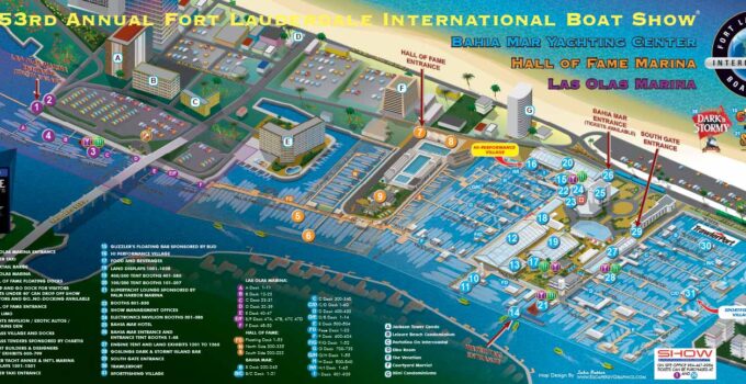
Illustrated Picture Maps Dock layout changes to the Fort Lauderdale International Boat Show map Illustrated Picture Maps - The 53rd Annual Fort Lauderdale International Boat Show is upon us …
Map Uses Map Uses - I just want to make a short post highlighting some of the many ways the 2011 Fort Lauderdale International Boat Show map has been …
Illustrated Boat Show Map Once again it's time for the Fort Lauderdale International Boat Show. This time it's the 52nd Fort Lauderdale International Boat Show and I have been …
