Tag: illustrated map
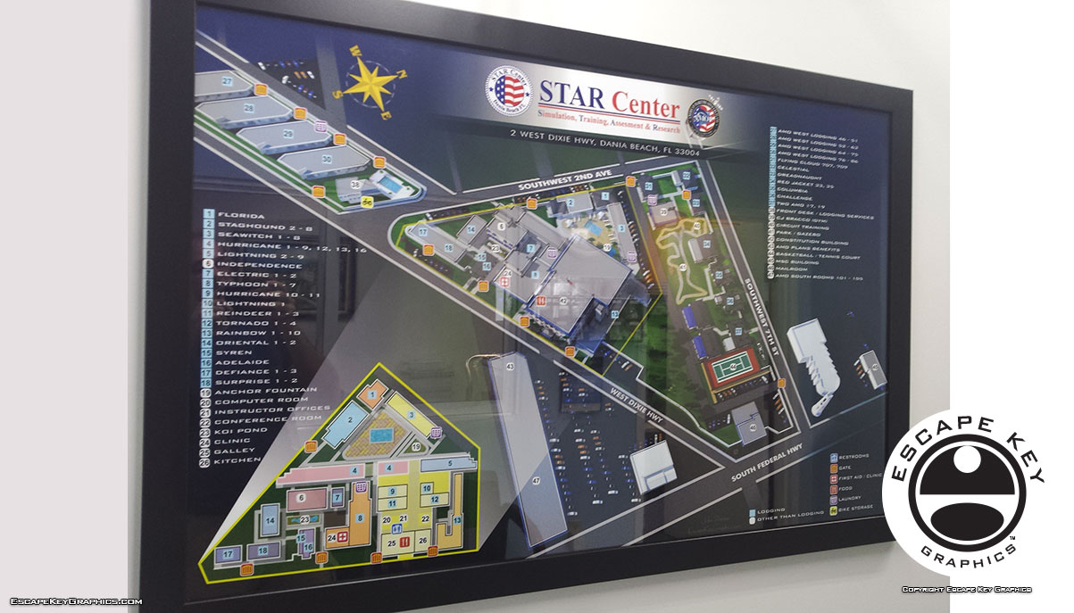
Maps in use and on display Maps in use and on display - I just visited one of my clients and saw this large framed print of the map …
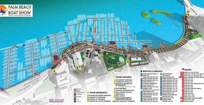
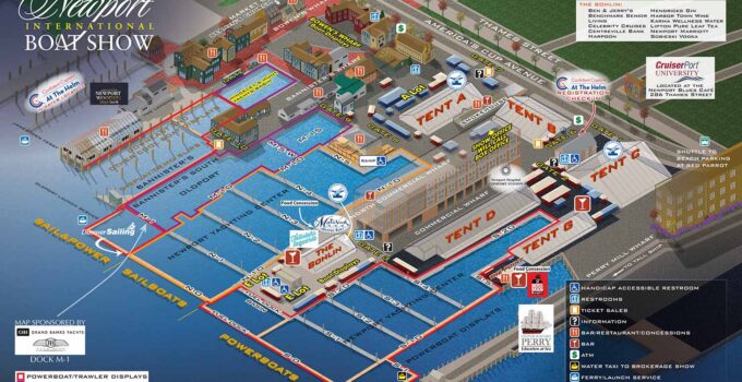
Illustrated Map for the Palm Beach International Boat Show - Palm Beach Boat Show Map A slightly new look and lots of dock revisions for Palm Beach this year. …
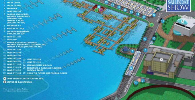
St Pete South Yacht Basin Map - Illustrated Boat Show Map I hope you enjoy the maps I made for the 2016 Saint Petersburg Power and Sailboat Show. …
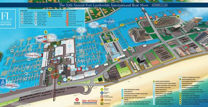
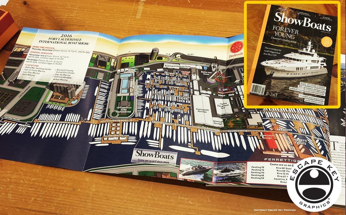
Illustrated Maps - FLIBS Map Illustrator FLIBS Map Illustrator - I hope you are enjoying the maps I made for the 2016 Fort Lauderdale International Boat Show. The main …
Illustrated Map for a Magazine - Boat Show Map as Magazine Illustration Illustrated Map for a Magazine - Be sure and check out the illustrated map foldout I created …
Boat Show Map as Magazine Illustration - Illustrated Map of Bahia Mar Marina Be sure and check out the illustrated map foldout I created in the the November issue …
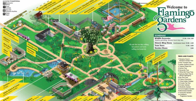
Theme Park Map Designer - Illustrated map of a Botanical Garden, Wildlife Sanctuary and a home for injured bird and animals Theme Park Map Designer - Flamingo Gardens wanted …
Historic District Map - Illustrated Maps Historic District Map - I have just completed revisions to this map (of my design) for 2016. Historic District Map - Great care …
