Illustrated Maps
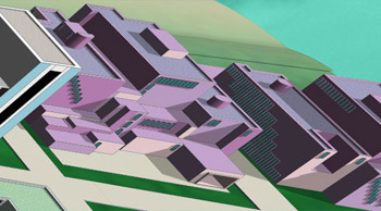
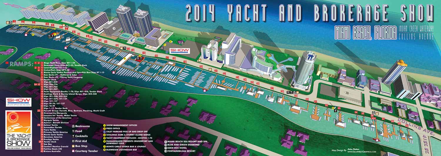
I have just completed the illustrated map for the 2014 Yacht and Brokerage Show in Miami Beach. This is my fourth year creating the map. Last year I introduced 3D design to the map and this year I changed the color, lighting and made the treatment a little more fun. Below you can see previous years maps for comparison.
3D map tour video
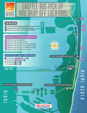
I also made some minor revisions to what used to be called the Parking Map and is now called the Shuttle Bus Pick Up and Drop Off Locations Map. You will find it helpful when choosing where to park and which bus to catch to reach your destination.
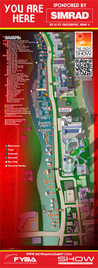
Also among the body of work was designs for the "You Are Here" signs. The map had to be rendered again from North and South and all keying had to be redone to reflect each view. This would have been virtually impossible using my old hand drawn technique.
The signs are about eight feet tall. They asked that I use a red background to match the sponsor's logo.
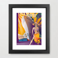
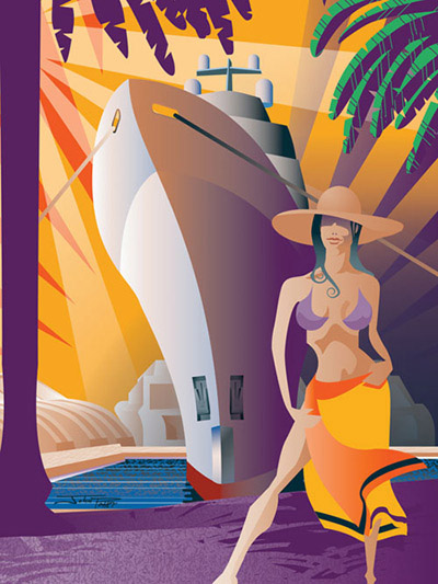
Lastly I want to mention that I did the illustration that will be on the cover of the boat show program. I'm very proud to be showing some artwork at a boat show other than a map and I am hopeful that this will lead to more new and diverse projects. This illustration is also available as a high quality art print (with framing optional) from my Society 6 page.
