Illustrations With Maps - Pairs
Over the years I've worked on many projects creating both illustration and maps (and sometimes some design work as well) for the same event, venue, project, etc. Here are a few...
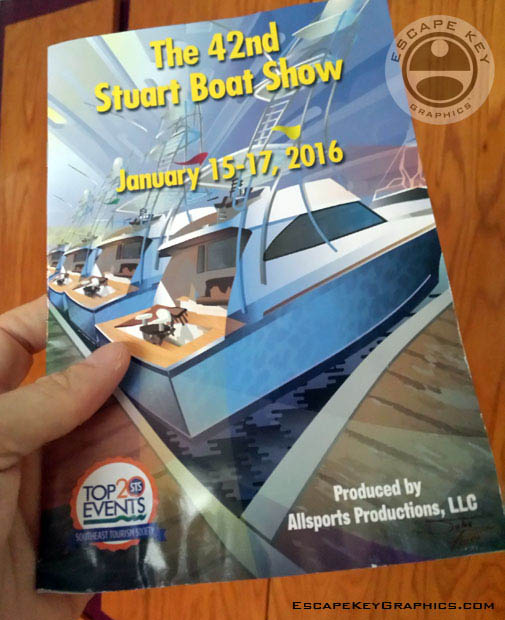
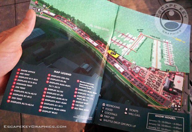
The 2016 Stuart Boat Show Program cover illustration and map illustration and design. The illustration was used for promotion in magazines, on the program and on the official website and social media. The map was used on the official website and in the program.
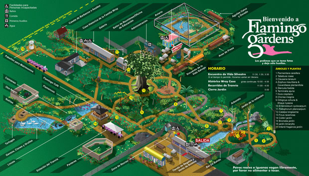
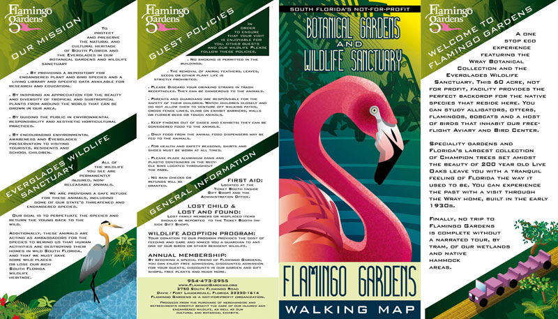
Flamingo Gardens map, brochure design for the other side and the illustration on the cover. Hundreds of these are handed out a day to visitors to the gardens.
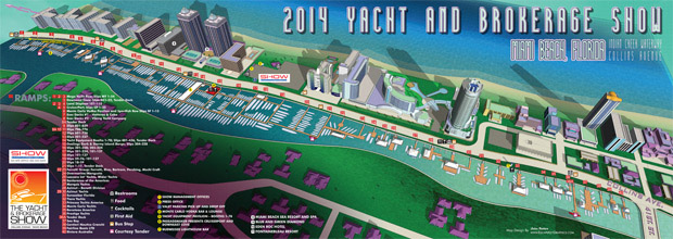
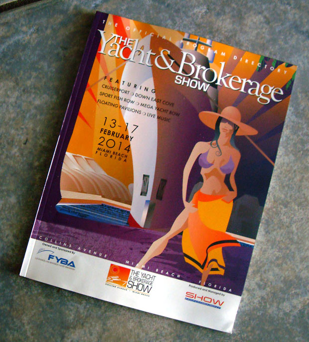
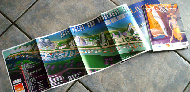
The 2014 Miami Yacht and Brokerage Show Program cover illustration, marketing illustration and map illustration and design (as well as a transit map and "You Are Here" sign maps not shown). The illustrations were used for print in magazines as well as the program cover, on banners, on display trucks, billboards and other ways I never even saw.
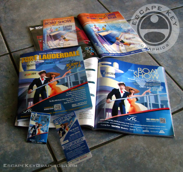
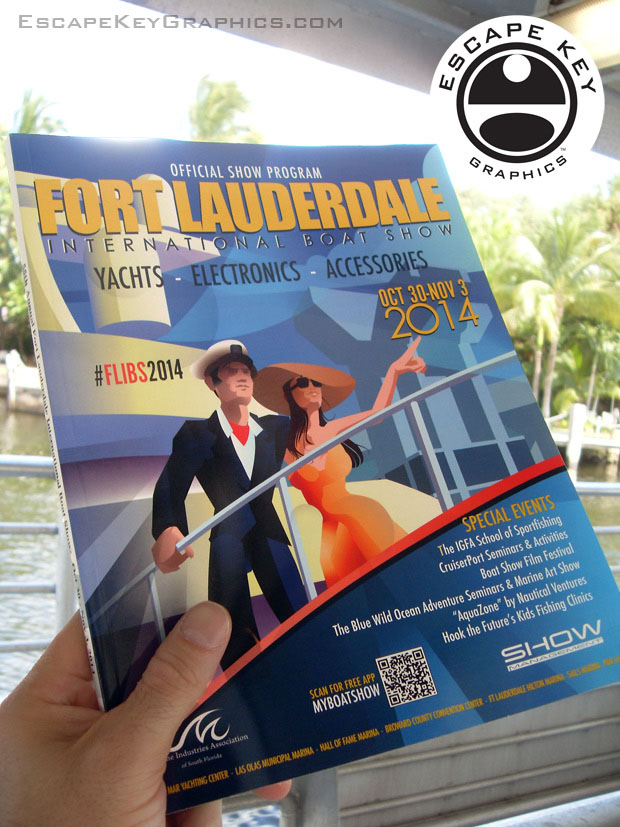
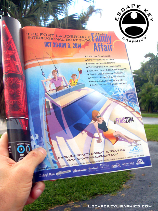
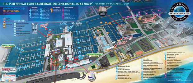 The 2014 Fort Lauderdale International Boat Show Program cover illustration (also used in many other marketing formats) and map illustrations (see more here) and design
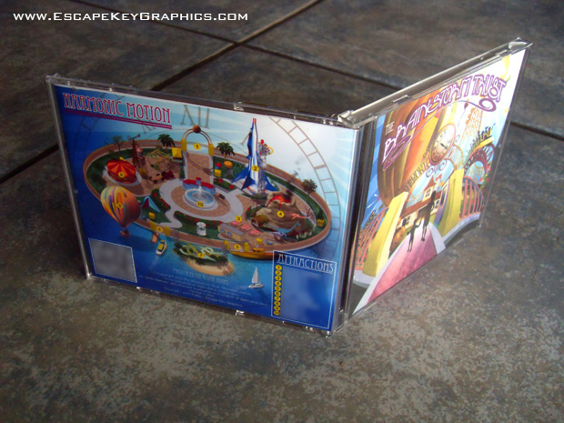
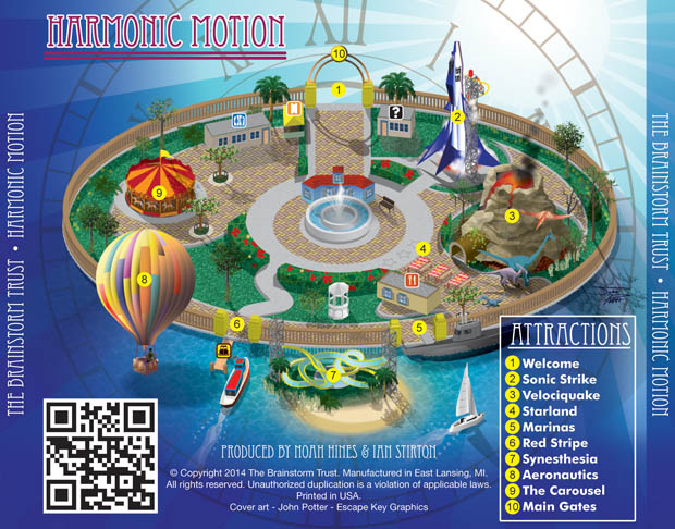 I created this fictitious map for the back cover of this Brainstorm Trust CD case as well as illustrating the cover and disk art.
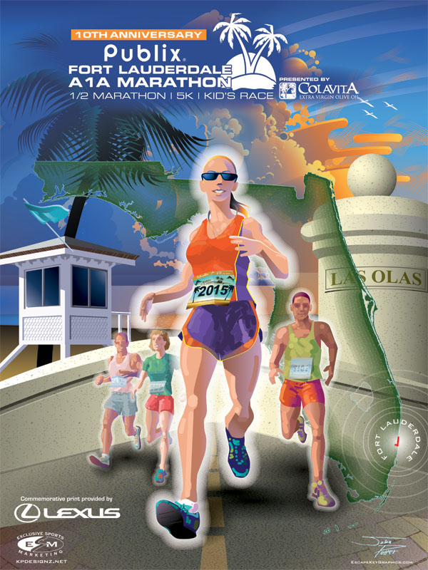 Lastly this illustration for a poster to promote a marathon actually has a map in it. The small red line is the route of the marathon.
