County Park Trail Maps - Hiking Trail maps
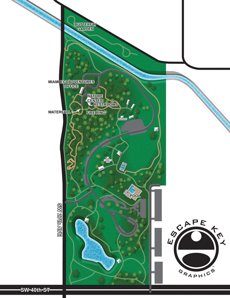
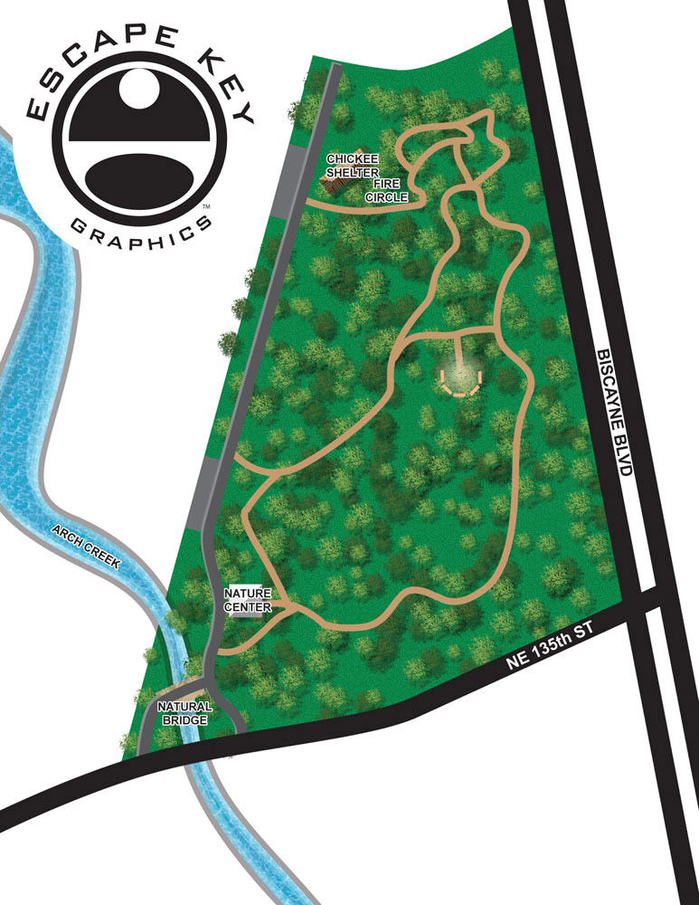
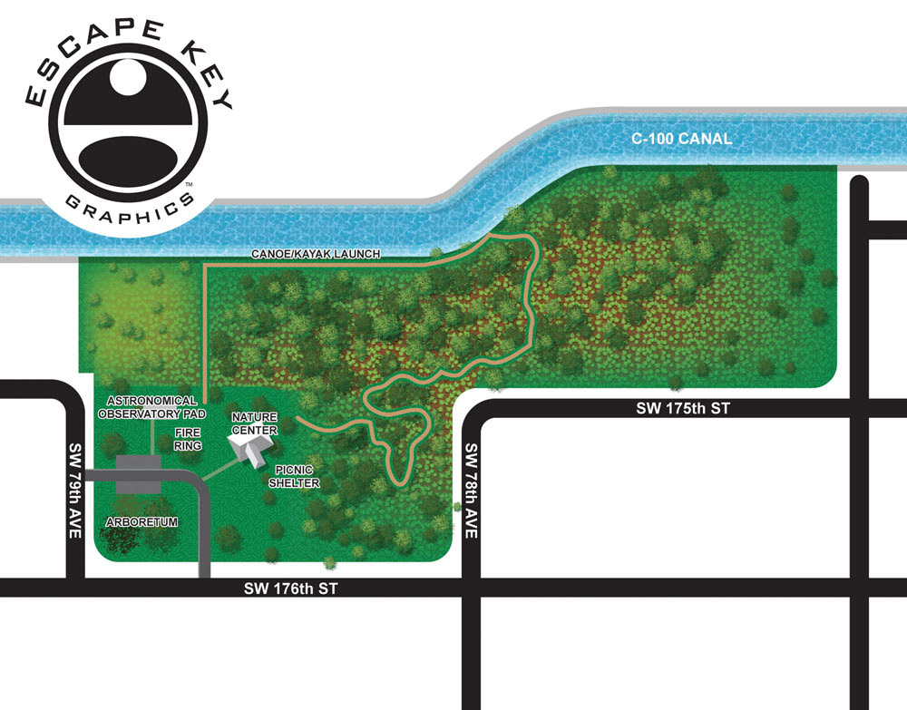
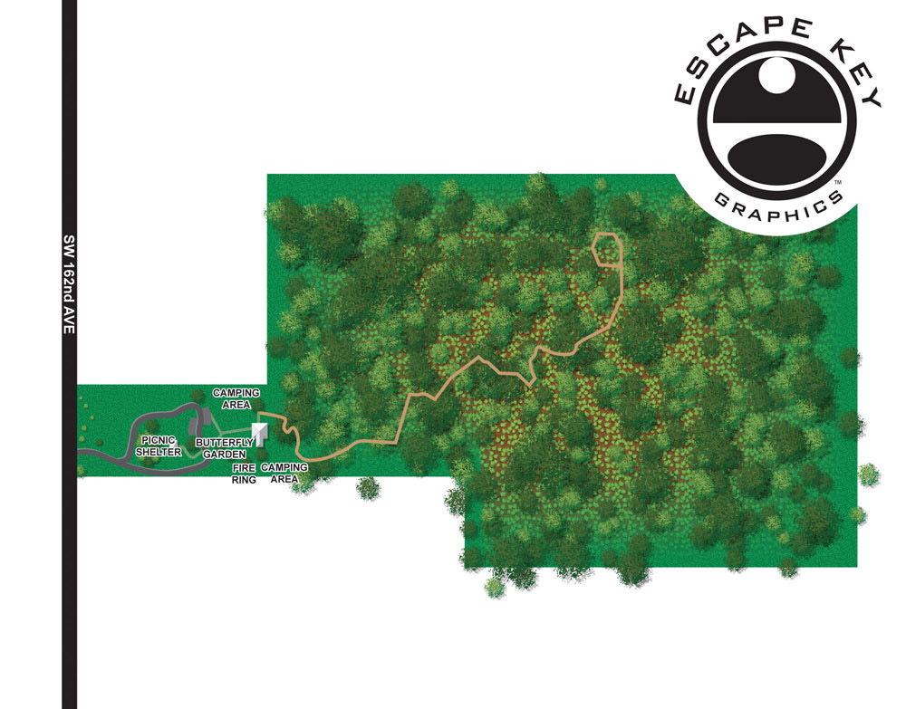
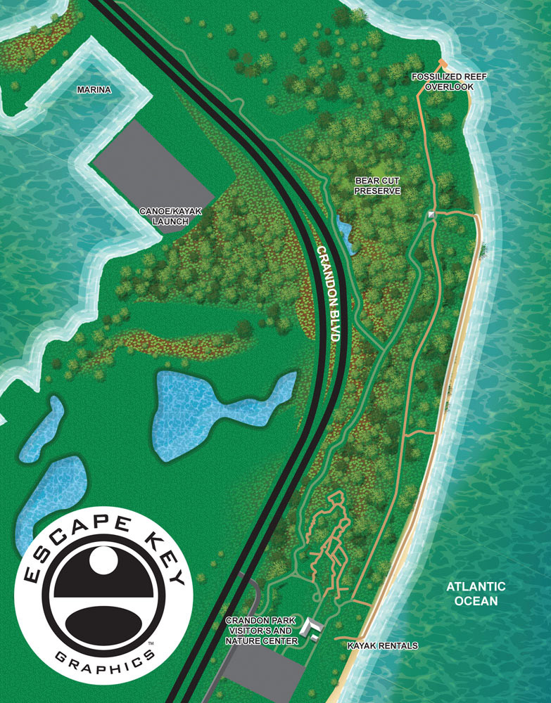
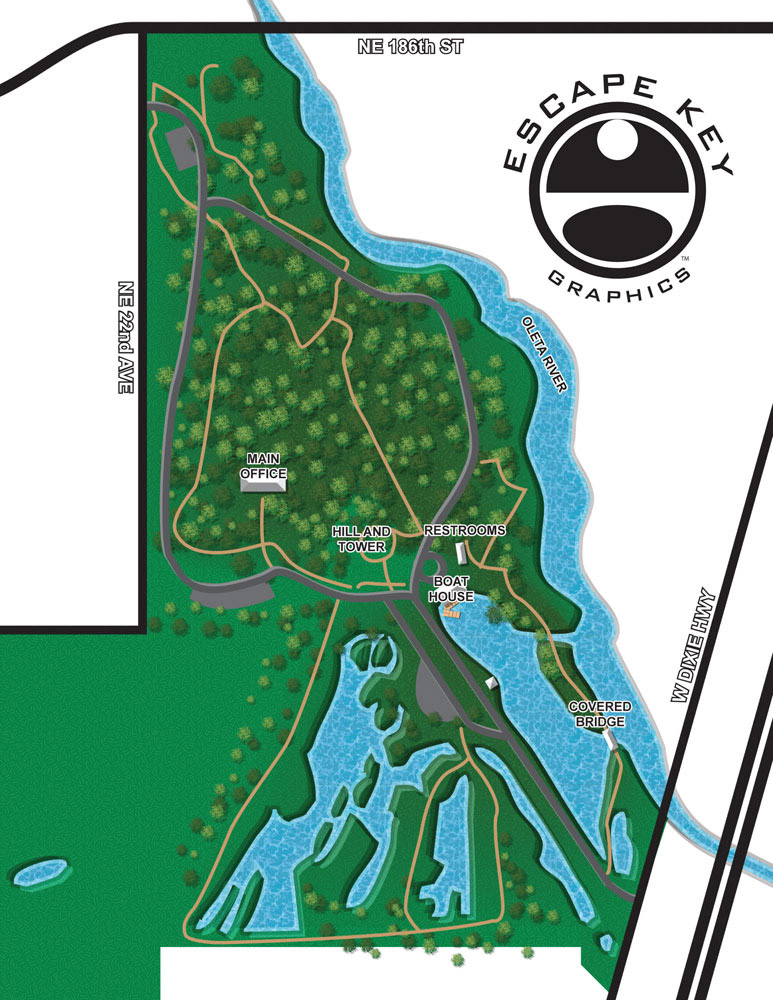
I just wrapped up these overhead maps of hiking trails in six Miami-Dade County parks. The Miami-Dade County Parks and Recreation Department is going to use these for a few things including a phone app. They wanted a simple, yet illustrated overhead look without much detail. They were fun to create and the people with the county were great. Hiking Trail maps.
Another style of hiking trail map can be seen here in this Stacked Cabin Woods Map. This was a project for an individual, but had some of the same requirements as these maps. It was a little more playful and in an isometric style.
PARK AND THEME PARK MAPS:
ILLUSTRATED PARK MAPS:
If you are the manager of a botanical garden, a staff member for a Parks and Recreation department or have any similar job title part of your responsibility is helping guests to your park or parks find their way around without getting lost and I can help.
The term "parks" covers a lot from ball parks where kid's play matches to theme parks and nature preserve type parks. Over the years I've made maps for all kinds of parks, nature preserves, wildlife sanctuaries, botanical gardens, theme parks, you-pick agribusiness farms and just about anything else you could refer to as a park. In all cases finding what you are looking for geographically in a friendly and visually appealing manner was the task. I handle each project specific to the needs of the client and the location, so some the maps I've made are pretty realistic and range to a bit cartoon like. When you contact me about your map I will discuss your needs with you and together we can decide which approach is best for your venue.
PORTFOLIOS:
By Application or Use:
- Boat Show Map Portfolio
- Resort Map Illustrations Portfolio
- Marina Maps Portfolio
- Real Estate Maps Portfolio
- Transit, Parking and Transportation Maps Portfolio
- Town and City Maps Portfolio
- Cover Illustration Portfolio
- Vehicle Wrap & Vinyl Wrap Portfolio
- Illustrated Park Maps Portfolio
- Wayfinding Maps Portfolio
- Proposal Renderings Portfolio
- Street Art



Very easy to read-nicely done.