Tag: illustrated map
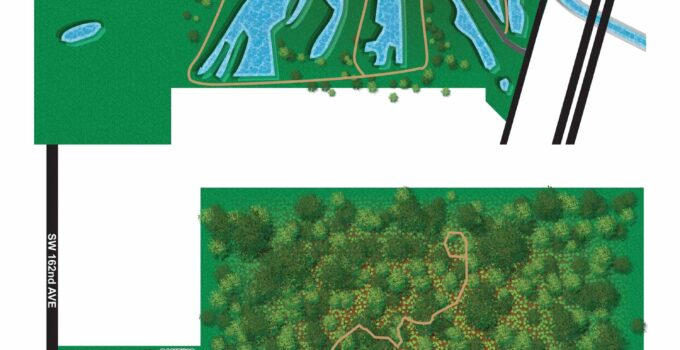
County Park Trail Maps - Hiking Trail maps I just wrapped up these overhead maps of hiking trails in six Miami-Dade County parks. The Miami-Dade County Parks and Recreation …
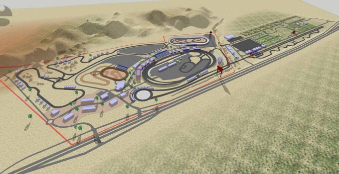
Tracks and Facilities Map/Architectural Rendering - Motorsports Park Artwork Motorsports Park Artwork - I recently completed this rendering for a client planning expansion of a motorsports attraction. Very little …
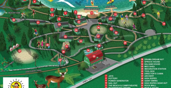
Illustrated Camp Map - Illustrated Map of a Kids' Camp Illustrated Camp Map - My client contracted me to create this illustrated camp map for a camp in Ontario, …
Custom 3D Map - Architectural Style Map of a Miami Beach Neighborhood Custom 3D Map - I just put together this brief tour of a model of the Sunset …
Illustrations With Maps - Pairs Over the years I've worked on many projects creating both illustration and maps (and sometimes some design work as well) for the same event, …
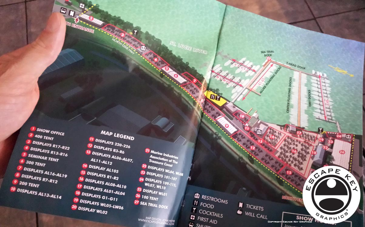
Illustrated Maps of Marinas - Marina Maps Just a few marina maps I've done over time. Most were intended to highlight an event or a specific business. All show …
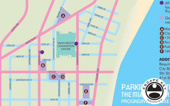
Custom Made Simple Maps Custom Made Simple Maps - I make a lot of maps that are really illustrations and some even border on being architectural renderings, but I …
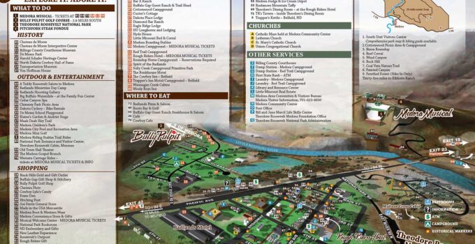
Illustrated Town Maps I'm frequently approached by municipalities and other government and private institutions about creating illustrated maps of neighborhoods, towns or cities and larger areas. Each of these …
