Tag: infographics
Miami Beach Map Fly Through - 3D Model Fly Through Video Miami Beach Map Fly Through - Just a little in-progress update on the 2013 Yacht and Brokerage …
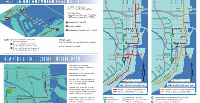
Custom Transit Map - A Transit Map Created for a Boat Show in Miami Custom Transit Map - These maps are a little departure from what I normally do. …
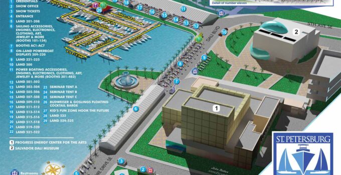
Aerial Map - Aerial View Illustrated Map I wanted to do something new this year for the St. Petersburg Power & Sailboat Show map. It had occurred to me …
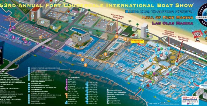
Illustrated Picture Maps Dock layout changes to the Fort Lauderdale International Boat Show map Illustrated Picture Maps - The 53rd Annual Fort Lauderdale International Boat Show is upon us …
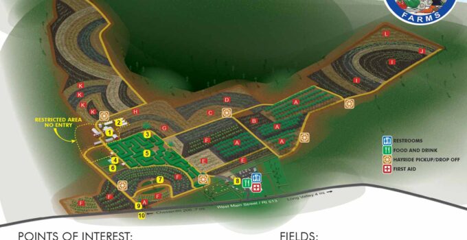
Agribusiness Illustrated Map - Illustrated Maps of a "You Pick" Farm Agribusiness Illustrated Map - The two maps I have been developing for Alstede Farms are now complete. Alstede …
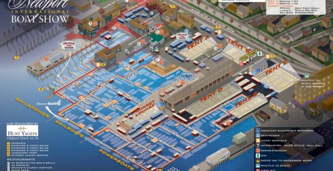
International Boat Show Illustrated Map - Illustrated Map for an International Boat Show I have just completed the map for the 2012 Newport International Boat Show for The Newport …
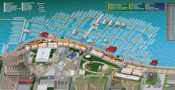
Vector Illustrated Map - Boat Show Map Illustrated Vector Illustrated Map - It's time for the Palm Beach International Boat Show (March 22 - 25, 2012) The map now …
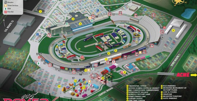
An Illustrated Map for an International Speedway- Speedway Illustrated Map I just completed a speedway illustrated map for The Dover International Speedway in Dover Delaware. The Dover International Speedway …

