Picture map of South Florida for an admissions booklet
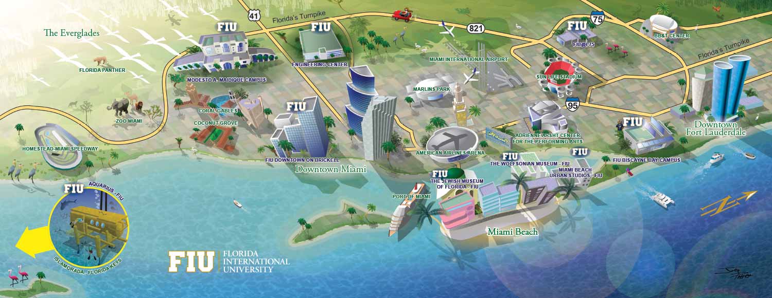
This was used in the Discover FIU brochure
This map is an example of a large-area illustrated map, where compromises are often necessary. With a space this expansive, decisions about which points of interest to highlight as spot illustrations are guided as much by composition and clarity as by subjective importance. The illustrator typically makes the final call on what works best visually, and in this case, the client agreed with the approach. While there was discussion and collaboration, the client understood the practical limitations of representing such a broad area.
The map is vector based, but some of the spot illustrations were created from 3D models rendered in Sketchup, then exported as vector art and refined in Adobe Illustrator.
The purpose of this map is to show prospective students how FIU is at the center of activity in South Florida. By combining a clear, readable layout with selective, visually engaging illustrations, the map communicates the excitement and accessibility of the region while staying true to the realities of large-scale cartography.


