Animated GIFs of 3D Maps in Progress
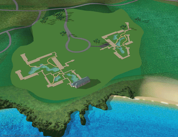
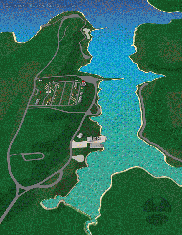
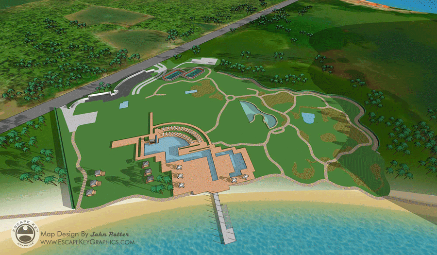
The maps below were created using Sketchup Pro. I created this page in the hopes that it might help demystify my work process for some clients. My maps are generally created using a kind of layered approach. First I usually establish the land area and water if applicable and then I build the buildings and other features on top of that base. Landscaping like trees usually come near the end. In some cases like marinas I might handle the docks first or in some arbitrary order from land features.
These GIFs are made from actual updates I sent to clients. So you are seeing what my clients were seeing as I worked as frames in animations. This keeps my clients appraised of progress and provides them an opportunity to request changes or corrections as I work rather than all after I'm finished.
In addition to these GIFs I have made some in progress videos over the years of different projects I have worked on (below). These maps and illustrations were not all created using Sketchup. At the time of me writing this some were created using Adobe Illustrator and Adobe Photoshop. The maps created with Illustrator, although different, also use a similar layering method working my way from ground up.
VIDEOS:


PORTFOLIOS
- Illustration Portfolio: Start here for custom illustration and book covers. You can also browse illustrated maps and architectural rendering.
- Fine Art: I offer original paintings and drawings, including my Custom Halftone Series. You will also find mural work here.
- Graphic Design & Motion: View my graphic design portfolio. After that, explore motion design and animated illustrations.
- Maps by application: I create illustrated maps for boat shows, resorts, marinas, real estate, transportation, transit and parking, towns and cities, parks, and wayfinding.
- Additional project types: I also produce cover illustration, vehicle and vinyl wraps, proposal renderings, and street art.
- Illustration methods: My techniques include vector, isometric and axonometric, painting, black and white, GeoData maps, overhead maps, and custom halftones.
- Software portfolios: I work primarily in Adobe Photoshop, Adobe Illustrator, SketchUp Pro, and Adobe InDesign. For motion projects, I use Premiere Pro and After Effects.