
An illustrated map of a resort marina in Denison, TX
Client: Grandpappy Point Resort & Marina
I created this map.
For more (and the latest) information about Grandpappy Point Resort & Marina please visit their site GrandPappy.com.
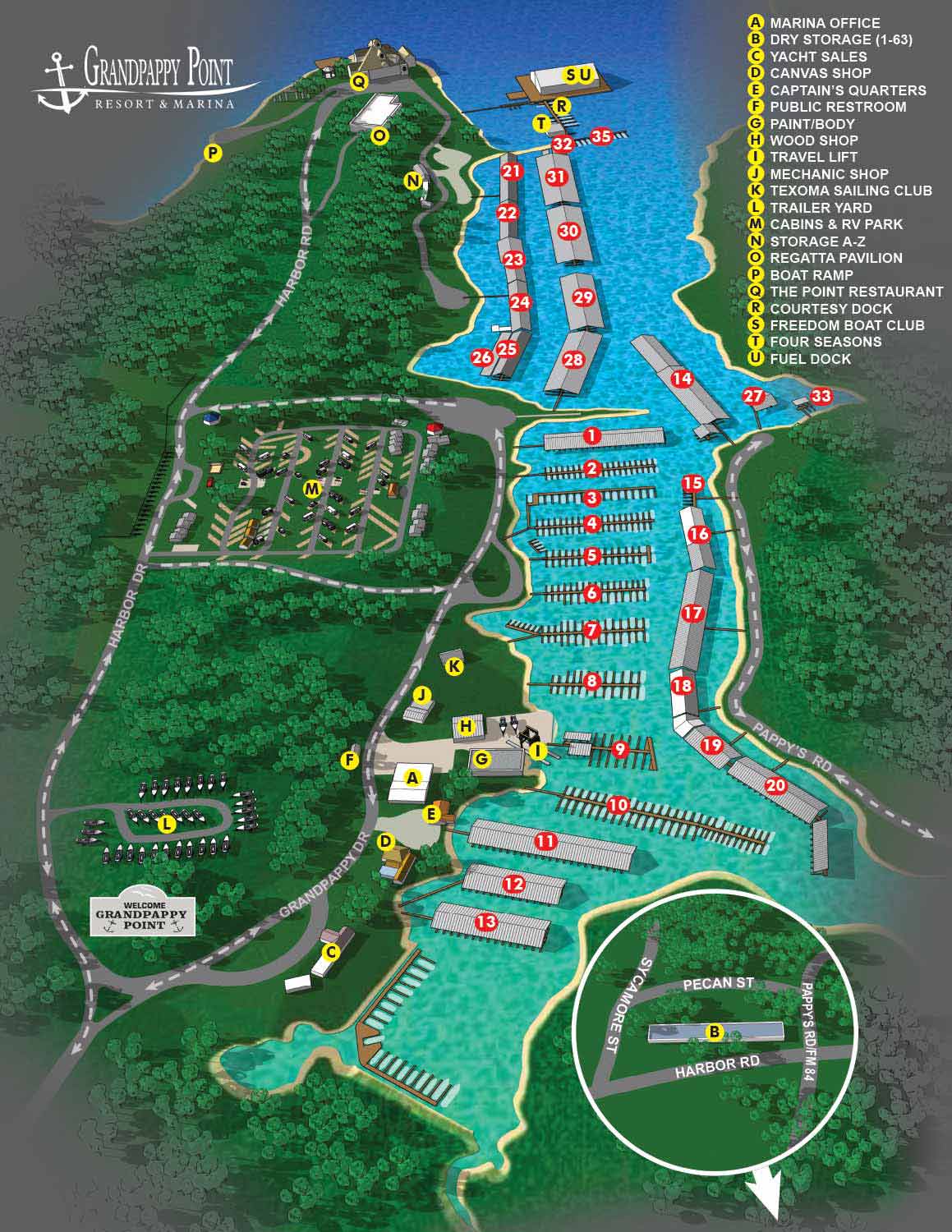
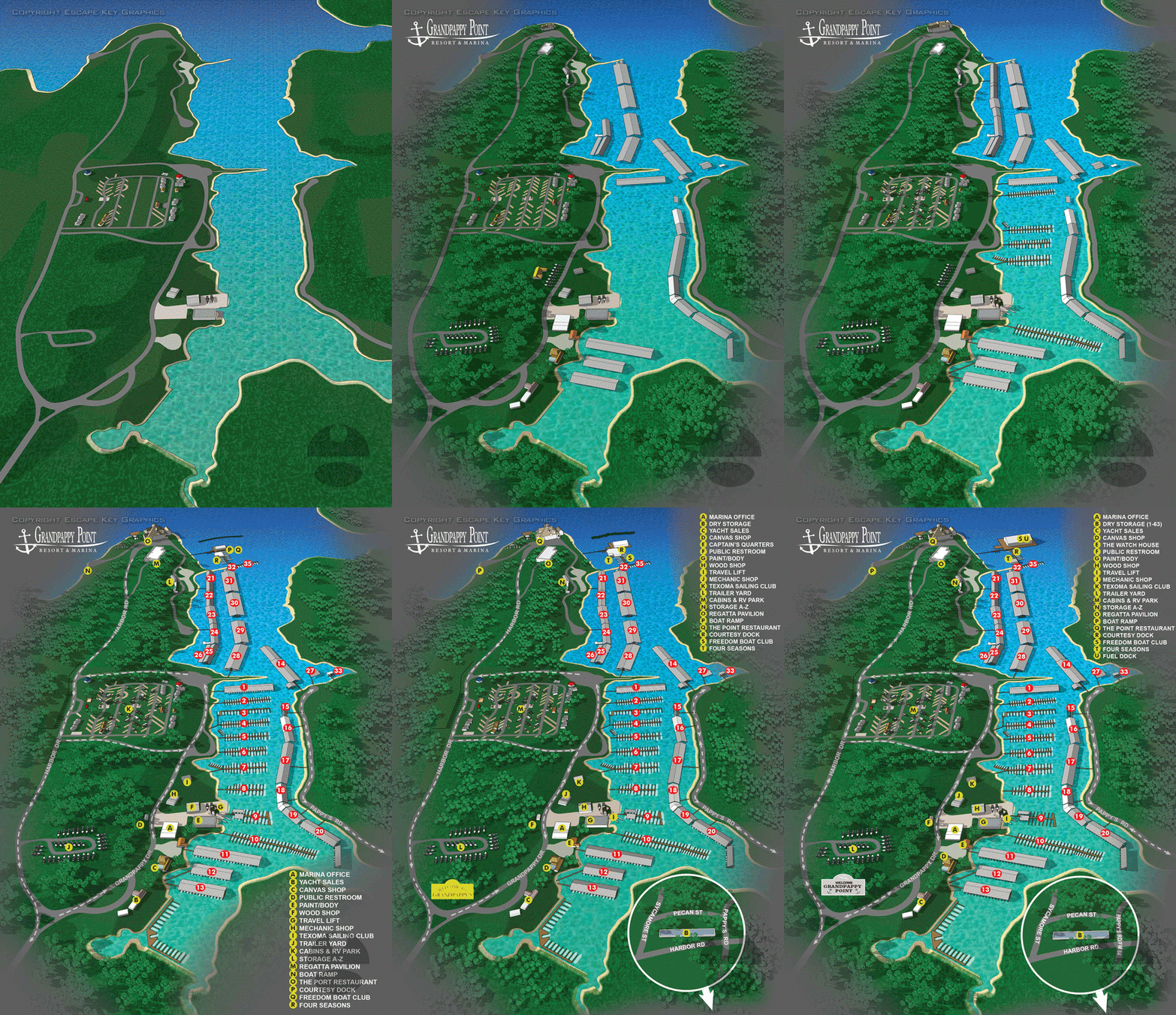
I created this detailed illustrated map for Grandpappy Point Resort and Marina, a very large full-service marinas on Lake Texoma in Denison, Texas. The property extends across more than 180 acres and includes over 700 boat slips, boathouses, cabins, dining, and service amenities that support year-round boating and waterfront activities. The map was designed as an aerial view to clearly depict docks, slip locations, the marina office, boat ramp, and other key features in a way that is both informative and visually appealing.
This illustration balances functional clarity with an engaging style that makes it useful for marina staff, visiting boaters, and property stakeholders alike. Dock labels and slip identifiers are clearly shown to support everyday marina management, while visual landmarks help users orient themselves quickly when navigating the property. The layout also allows the marina to use the map in marketing materials and visitor guides, giving potential customers a clear picture of the resort’s offerings before they arrive.
A well-designed map like this can improve operations by helping staff manage slips and guide customers, while also strengthening the waterfront brand through a polished visual presentation. For marinas looking to improve wayfinding, communicate complex spatial information, and enhance printed or digital materials, custom map illustration offers a practical and attractive solution that draws on both accuracy and design. Visit my portfolio for more examples of map projects created for marinas, resorts, and destination properties.
WORK FOR GRANDPAPPY POINT RESORT & MARINA:


PORTFOLIO GALLERIES
- Illustration work: Start with custom illustration and cover design, then view illustrated maps and architectural renderings.
- Fine art: Discover original paintings and drawings, the Custom Halftone Series, and mural projects.
- Design & motion: Check out the graphic design gallery, then move on to motion graphics and animated illustration.
- Maps by sector: I produce illustrated maps for boat shows, resorts, marinas, real estate, transit & parking, towns & cities, parks, and wayfinding systems.
- More creative services: Additional offerings include cover illustration, vehicle wraps, proposal renderings, and street art.
- Artistic methods: My work spans vector art, isometric & axonometric views, traditional painting, black & white illustration, GeoData mapping, overhead perspectives, and halftone effects. Recently I have also begun to utilize AI in some cases.
- Preferred software: I rely on Photoshop, Illustrator, SketchUp Pro, and InDesign, plus Premiere Pro & After Effects for motion projects.