An illustrated wayfinding map of a marina in The Bahamas
Client: Treasure Cay Beach, Marina and Golf Resort
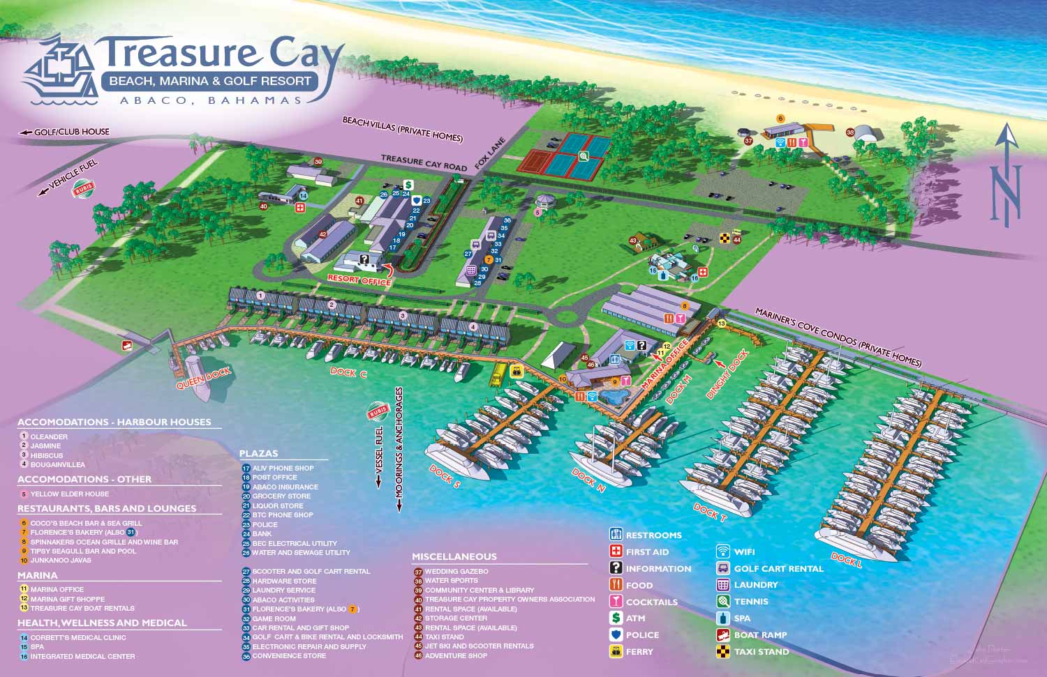
I was contracted by Treasure Cay Beach, Marina & Golf Resort in 2017 to create a property map for guest wayfinding and marketing purposes. I made a companion/derivative overhead map of the marina for slip management purposes and a smaller derivative map that served as a guide for guests renting cottages. I say derivative because I created one virtual 3D model and rendered all three of these maps from that single file. Of course all of the labeling and such was unique to each map but using one file for illustrative purposes reduced labor and therefore cost. This is a common technique that I use.
At a later date I also created detailed interior renderings of the cottages at a later date but they required new, unique model making.
What I had to work with:
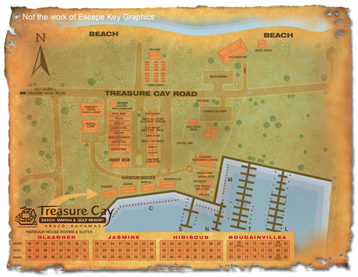
The client provided me with an existing venue map that was straight overhead and beyond some coloration and thematic treatment was more of a graphic than an illustration. That isn't necessarily bad, and the dock slip and cottage maps I created were similar, but for their primary map they wanted something more illustrative and there were revisions to be made.
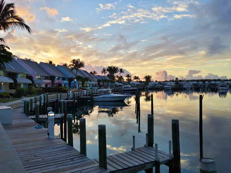
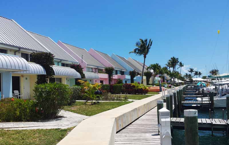
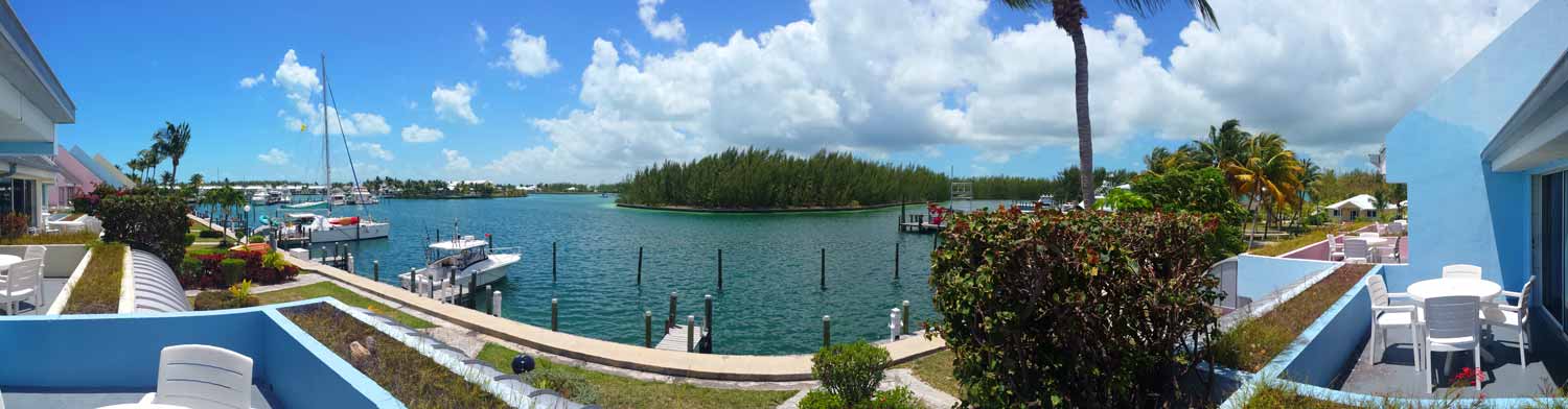
In addition to the existing map the client provided lots of photography. I also had access to at least one source of satellite photography. The client wanted me to have a comprehensive overview of the area involved so they had me fly over to Great Abaco for a few days. While there I ended up doing a rudimentary survey of the marina. I would end up doing this again years later at Bimini at Bimini Big Game Club Resort and Marina. Anyhow...By the time I had all of those measurements and photos I was ready to get to work.
How I executed the project:
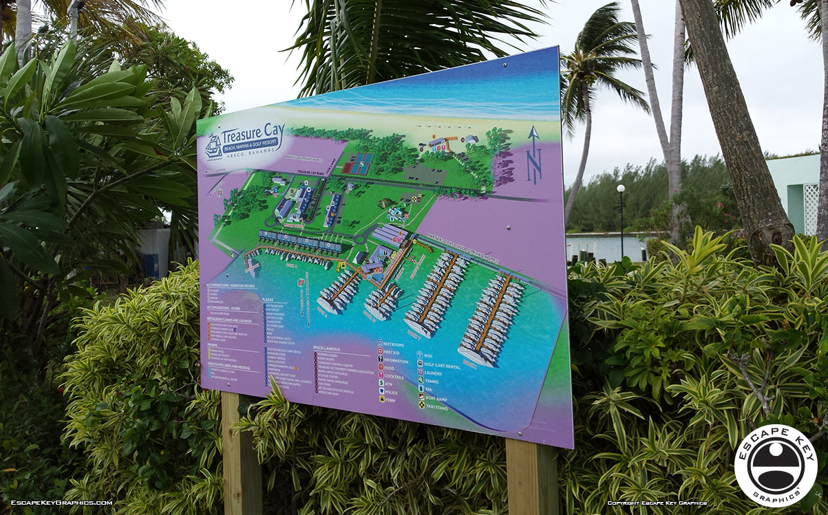
I used Sketchup Pro and Adobe Photoshop with maybe just a touch of Kerkythea to render the illustrated overview map. I used Adobe Illustrator for the labeling, keying, logos etc.. This made it possible for the client to make minor revisions in house if they had staff familiar with Adobe Illustrator or other vector based software. This is my standard practice where I allow clients to make minor revisions but only I can revise the illustration. I provided the client files suitable for print and web use. As is my standard policy I retained rights to the images. The client used the maps to good effect including signage.
Treasure Cay Beach, Marina & Golf Resort sustained unrecoverable damage from hurricane Dorian in 2019 and now exists only in fond memories.
If you are interested in vacationing in the Bahamas I recommend one of my other clients... either Abaco Beach Resort & Boat Harbour Marina on Great Abaco (AbacoBeachResort.com) or on the beautiful island of Bimini consider Bimini Big Game Club Resort and Marina (BigGameClubbiMini.com). They both offer great Bahamas experiences. Be sure to tell them I referred you.


MAPS IN THE BAHAMAS:
MAPS IN THE CARIBBEAN:

EXPLORE MY WORK
- Illustration: Discover custom illustrations, book covers, illustrated maps, and architectural renderings.
- Fine Art: Browse original paintings and drawings, view the Custom Halftone Series, or check out mural projects.
- Graphic Design & Motion: See the graphic design collection, then dive into motion design and animated illustrations.
- Maps by industry: View illustrated maps tailored for boat shows, resorts, marinas, real estate, transportation, towns, parks, and wayfinding.
- More project types: Explore cover art, vehicle wraps, proposal renderings, and street art.
- Techniques & styles: Work spans vector, isometric, painting, black-and-white, GeoData, overhead maps, and halftones.
- Software expertise: Primary tools include Photoshop, Illustrator, SketchUp Pro, and InDesign, plus Premiere Pro & After Effects for motion.