
Angles and Scales - A Maps FAQ Supplemental
Angles:
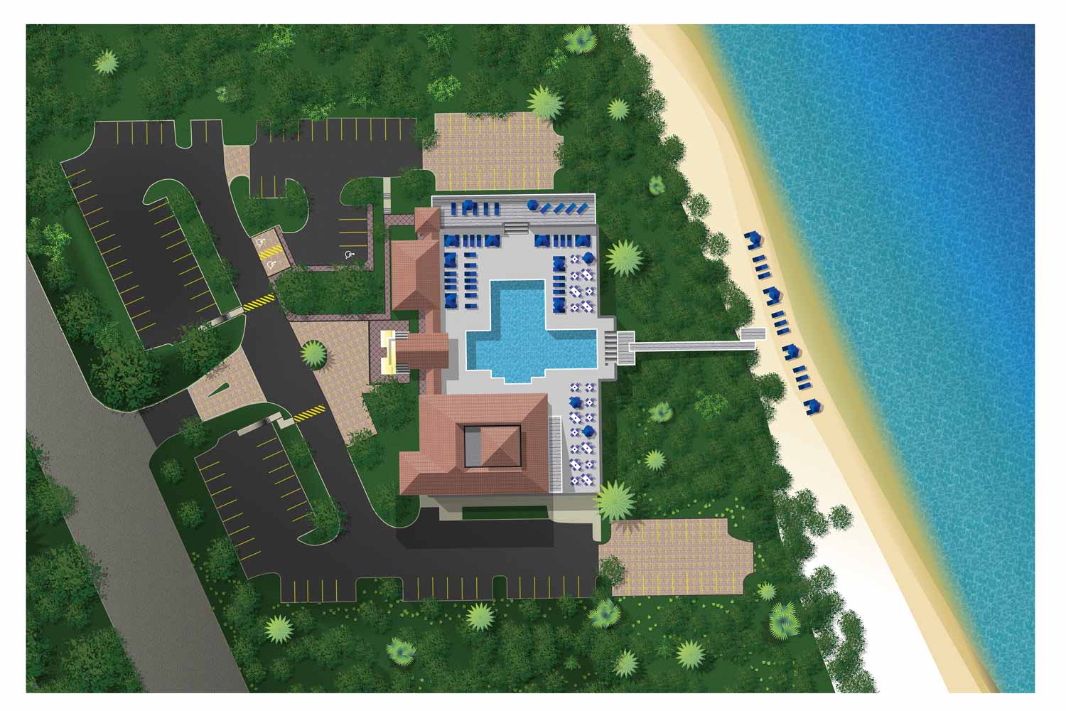
- What you see: Flat shapes. The roofs of buildings, the outline of a park, the path of a road, the edge of a marina. It’s like looking at a blueprint or a floor plan.
- What you don’t see: The sides of buildings or what a tree looks like from the side.
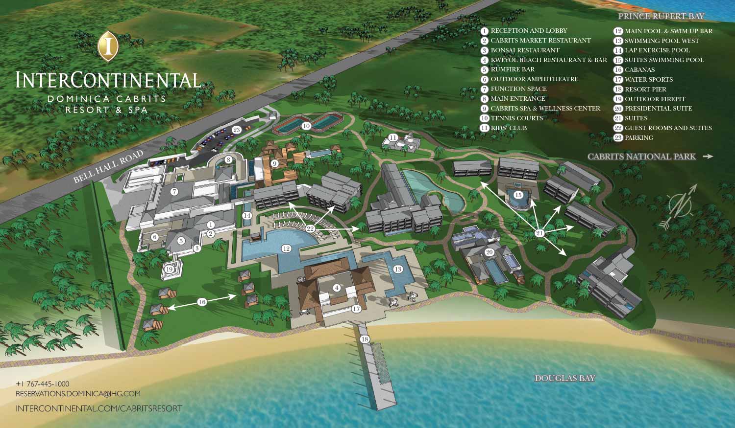
- What you see: A scene like a photograph from a low-flying plane. Looks more real.
- What you don’t see: A site plan or layout type of view. This is not like a street map.
Scale:
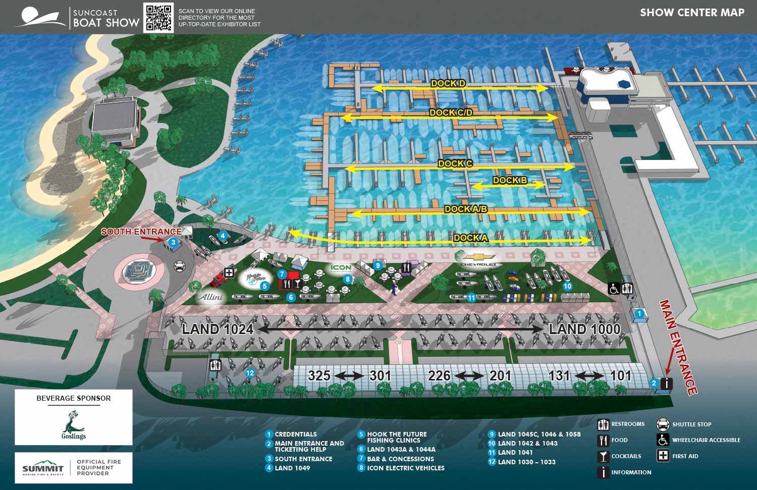
This map shows a small area. At that scale you can easily see individual cars, boats and trees.

This map shows a larger area. At that scale you can barely see individual cars, boats and trees.
Here’s what will show up well at a typical property scale:
- Major buildings and structures
- Main roads, paths, and walkways
- Significant landscape features (ponds, large groves of trees, golf courses)
- Important points of interest (the main entrance, the pool, the clubhouse)
Here’s what won’t show up well:
- Mailboxes
- Pet Feeders
- Garden ornaments
- Fire Pits
Keep in kind that although a fire pit, for instance, might be visible it may be extremely small. As I am saying "won’t show up well", but not necessarily wont show up at all.
Unrealistic Scale:
Scales can be exaggerated but on a map some things have to be to scale or it's not a useful map anymore. This is usually done using "spot illustrations". Spot illustrations are small illustrations independent of the main image... In this case a map. Since the spot illustrations are independent of the main image they can have a larger scale.
This isn't always an available solution because of spot illustrations still need to fit where you need them (unless you use arrows). Once again...Some things have to be to scale or it's not a useful map anymore.
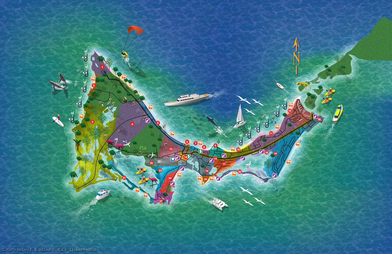
This map uses spot illustrations but they are decorations only and didn't have to be in any specific place
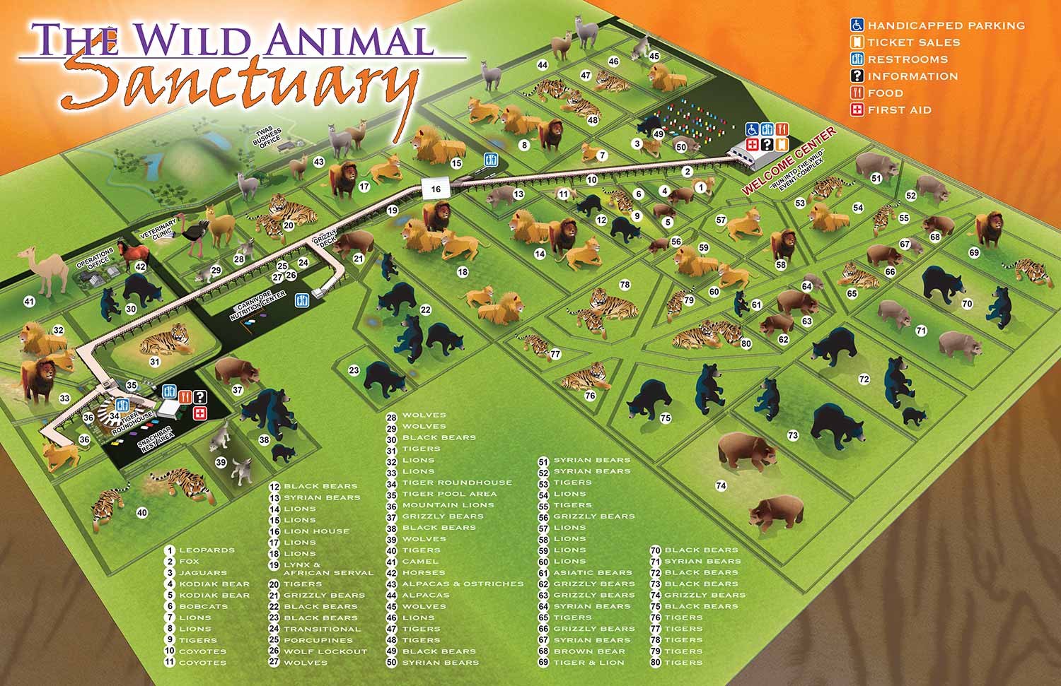
This map uses spot illustrations that needed to be in specific places and as you can see they were sometimes a tight fit
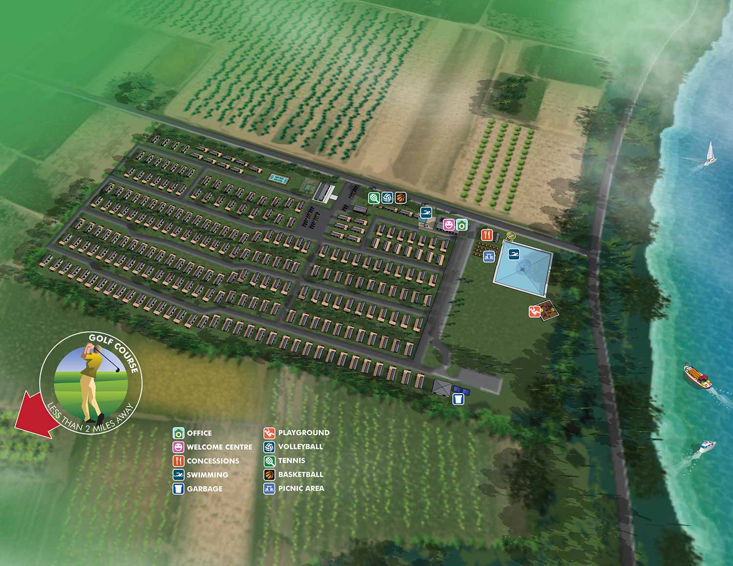
This map uses a spot illustration and an arrow so it doesn't have to be in a specific place
Inset Maps:
Inset Maps To Show Extra Detail:
In some cases where detail needs to be seen in only a few parts of a map insets can be used as an aide
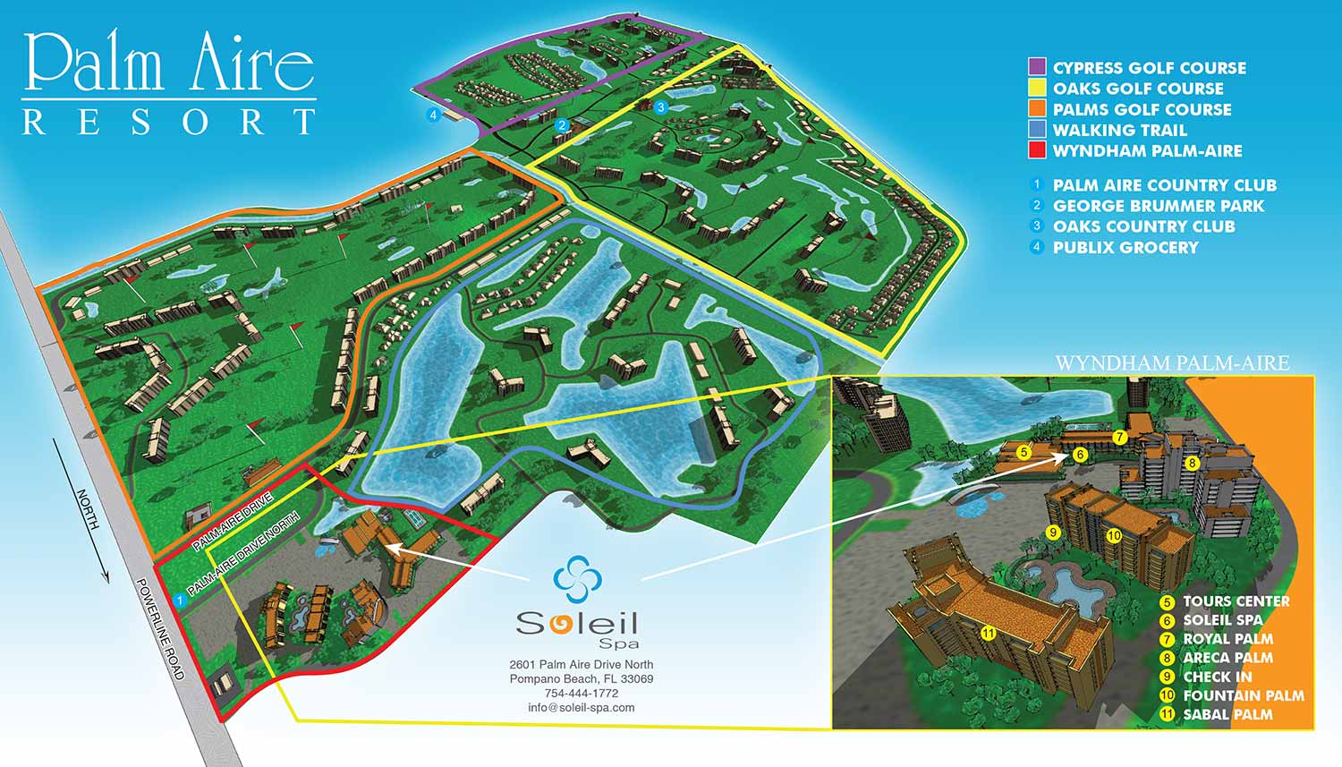 This map uses an inset map to show detail at a greater scale
What I Need to Prepare Your Map Quote
To give you an accurate estimate, please start by gathering these five key details:
- Business name and address
- The map's location.
- The Map's Focus: The boundaries (north, south, east, west) and the key landmarks to include.
- The Level of Detail: A list of your key Points of Interest (POIs) or the total number to be illustrated.
- Your Preferred Style: A reference map from my portfolio, or a description (This includes overhead or aerial view). This is crucial for an accurate quote. We can discuss this if helpful or necessary.
- If you have objects too small to show up on your map we will need to discuss how to handle this or you can provide an example.
I hope this article helps you understand the limitations and possibilities of the maps I make.
Browse some of my map designs below.


