
Loddon Court Residential Park Map
Client: Tingdene Residential Parks
For information on Loddon Court Residential Park please visit Tingdene-Parks.net
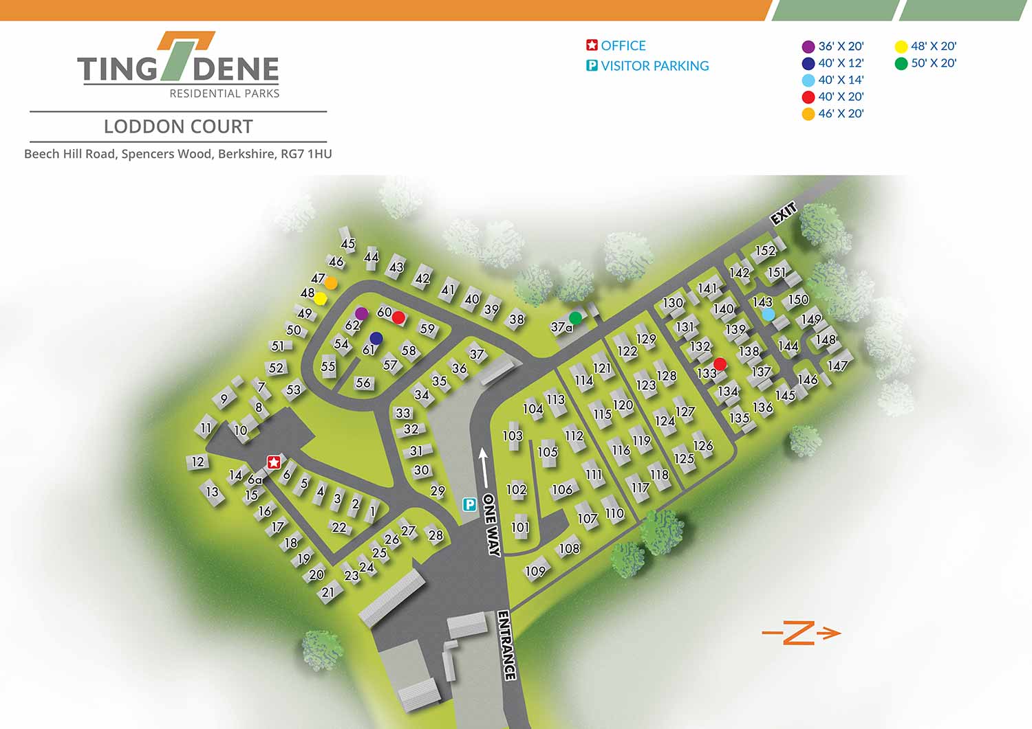
This illustrated overhead map was created as a sales and marketing tool for Loddon Court Farm Park, a residential park located in the Berkshire countryside near the village of Spencers Wood. The map was designed to present the layout of the property in a clear and approachable way, making it easy for prospective residents to understand the arrangement of homes, roads, green spaces, and shared amenities at a glance.
Overhead residential park maps like this are commonly used across multiple platforms, including websites, printed sales materials, and on site signage. Their straightforward perspective helps viewers quickly orient themselves without the visual complexity of a three dimensional rendering. This makes them especially effective for online use, where clarity and immediate understanding are essential for attracting and informing potential buyers.
Loddon Court Farm Park is a well established residential community set within open countryside, offering a peaceful setting while remaining connected to nearby villages and services. This map supports the sales process by reinforcing the park’s organization, scale, and sense of place. Custom illustrated maps such as this are a valuable asset for residential developments, helping property owners and operators communicate layout, accessibility, and lifestyle in a way that is both practical and visually engaging.


WORK FOR TINGDENE - COMBINED MARINA AND RESIDENTIAL PARK MAPS:


EXPLORE MY PORTFOLIOS
- Illustration: Find custom illustration, book covers, illustrated maps, and architectural rendering.
- Fine Art: Browse original paintings and drawings, the Custom Halftone Series, and murals.
- Graphic Design & Motion: See my graphic design work, plus motion design and animated illustrations.
- Maps by industry: Illustrated maps tailored for boat shows, resorts, marinas, real estate, transit & parking, towns & cities, parks, and wayfinding.
- Other project types: Also available: cover art, vehicle & vinyl wraps, proposal renderings, and street art.
- Techniques: Explore work in vector, isometric & axonometric, painting, black & white, GeoData, overhead, and halftone styles. Recently I have also begun to use AI for some specific solutions.
- Software: Primary tools: Photoshop, Illustrator, SketchUp Pro, and InDesign. Motion work uses Premiere Pro & After Effects.