
Belgraphix Projects
Our Long Standing Collaboration
I have proudly collaborated with Belgraphix since 2012 on a variety of projects supporting their client work across the region. Over the years they have built a reputation for professionalism, reliability, and thoughtful creative direction. Our long standing relationship reflects a shared commitment to quality and an ability to work seamlessly together as part of a larger marketing team.
When Belgraphix brings me into a project, I become an extension of their own team. They handle the strategy and client relationships, and I deliver the visual pieces that bring those strategies to life. It is a partnership that has worked well for both of us for more than a decade.
Your Project
If you are a marketing firm looking for a reliable illustration partner, or if you have a project that could benefit from the kind of work I have done for Belgraphix, contact me. I have done this work before and I would be glad to do it for you.




ILLUSTRATED PARK MAPS:
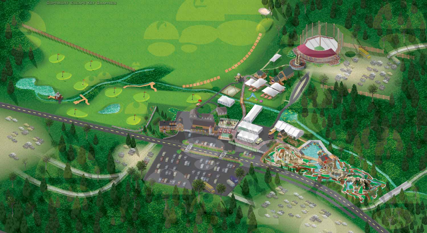
Illustrated park maps play an important role in helping visitors feel comfortable, informed, and confident as they explore a space. If you manage a botanical garden, work for a Parks and Recreation department, or oversee a public attraction, clear wayfinding is a key part of creating a positive guest experience. A well designed map reduces confusion, supports accessibility, and allows visitors to focus on enjoying the park rather than trying to figure out where they are.
The term park covers a wide range of destinations, from neighborhood ball fields and community parks to large nature preserves, wildlife sanctuaries, botanical gardens, theme parks, and agritourism venues. Over the years I have illustrated maps for many types of parks, each with its own layout, audience, and goals. In every case, the objective is the same: to present geographic information in a way that is easy to understand, visually engaging, and appropriate for the setting.
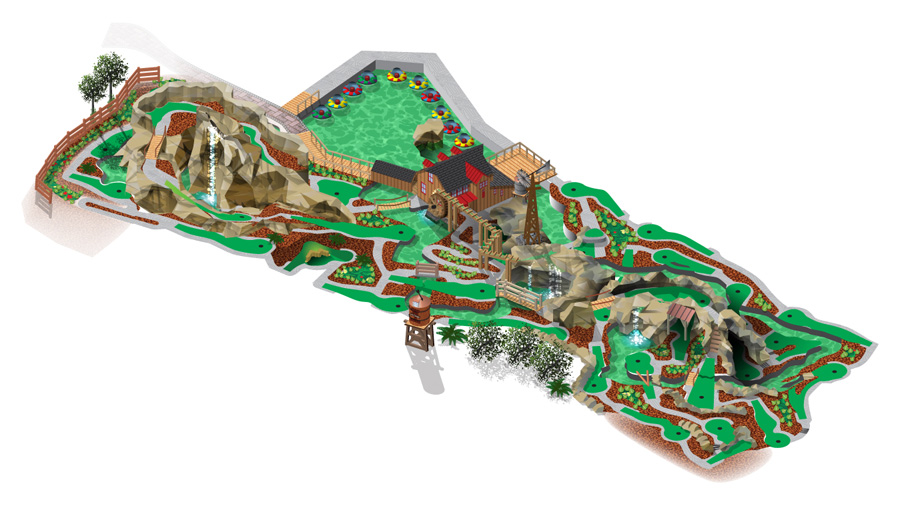
Each illustrated park map is tailored to the specific site and its visitors. Some projects call for a more realistic representation of the landscape, while others benefit from a lighter, more playful illustration style. Factors such as size, visitor flow, signage needs, and branding all influence the final approach. When you contact me about a park map, we will discuss your goals and challenges in detail and determine the style and level of detail that best supports your venue and your guests.
GOLF RELATED ILLUSTRATED MAPS:
EXPLORE MY PORTFOLIOS
- Illustration: Find custom illustration, book covers, illustrated maps, and architectural rendering.
- Fine Art: Browse original paintings and drawings, the Custom Halftone Series, and murals.
- Graphic Design & Motion: See my graphic design work, plus motion design and animated illustrations.
- Maps by industry: Illustrated maps tailored for boat shows, resorts, marinas, real estate, transit & parking, towns & cities, parks, and wayfinding.
- Other project types: Also available: cover art, vehicle & vinyl wraps, proposal renderings, and street art.
- Techniques: Explore work in vector, isometric & axonometric, painting, black & white, GeoData, overhead, and halftone styles. Recently I have also begun to use AI for some specific solutions.
- Software: Primary tools: Photoshop, Illustrator, SketchUp Pro, and InDesign. Motion work uses Premiere Pro & After Effects.