
Sketchup Pro Portfolio
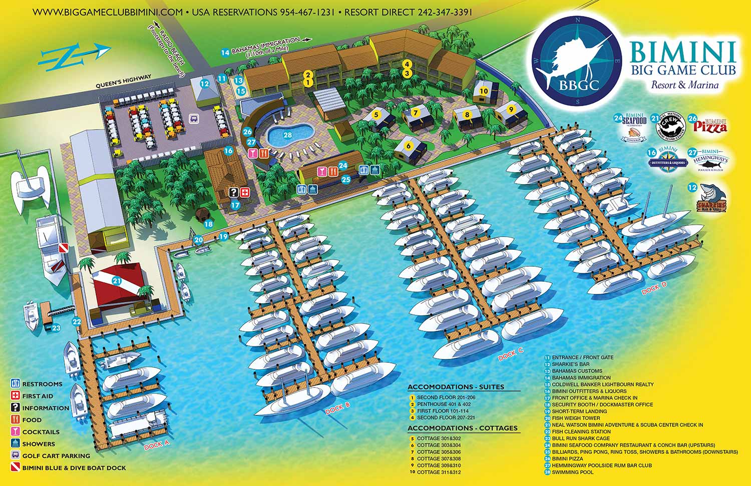
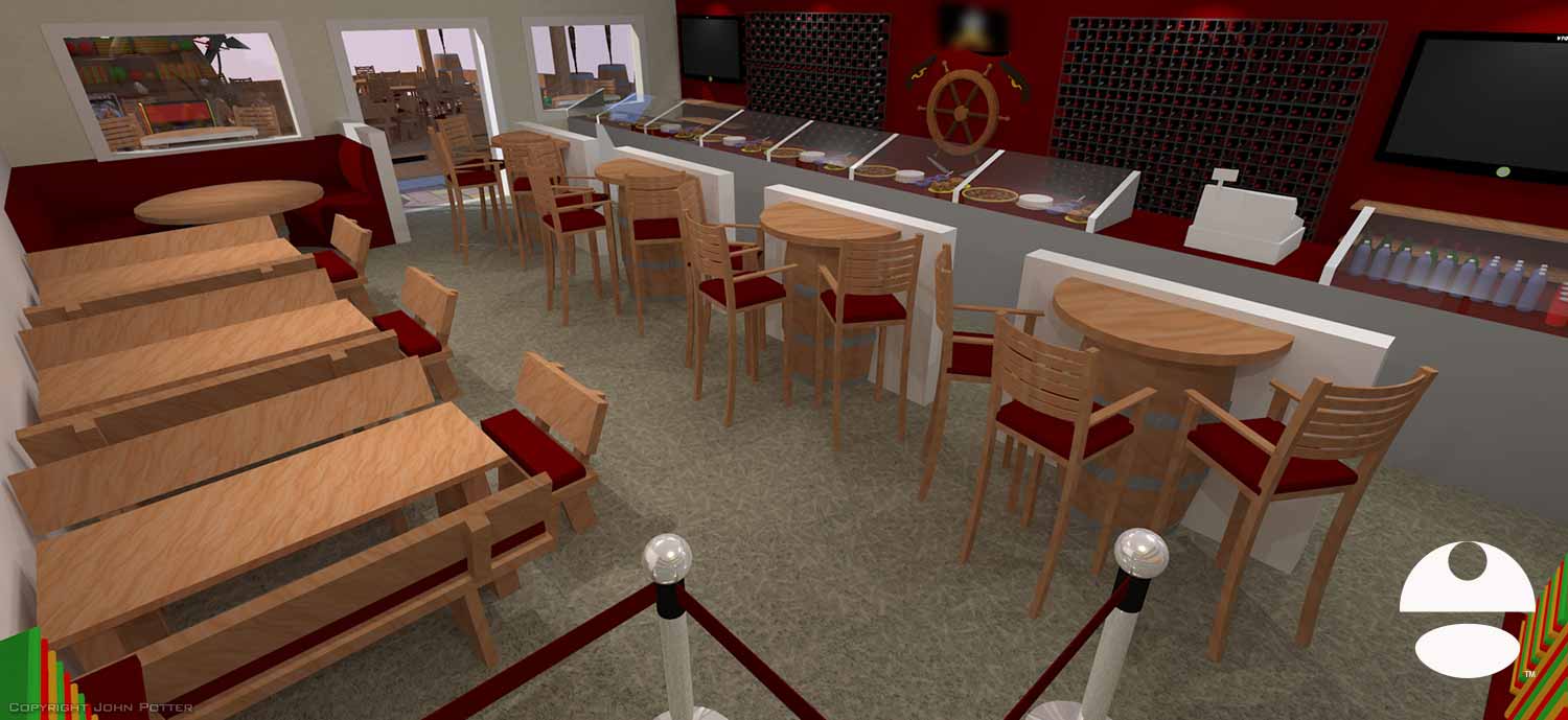
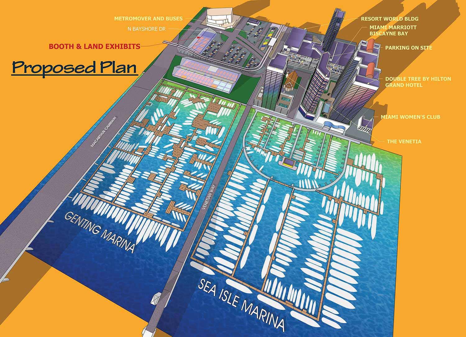
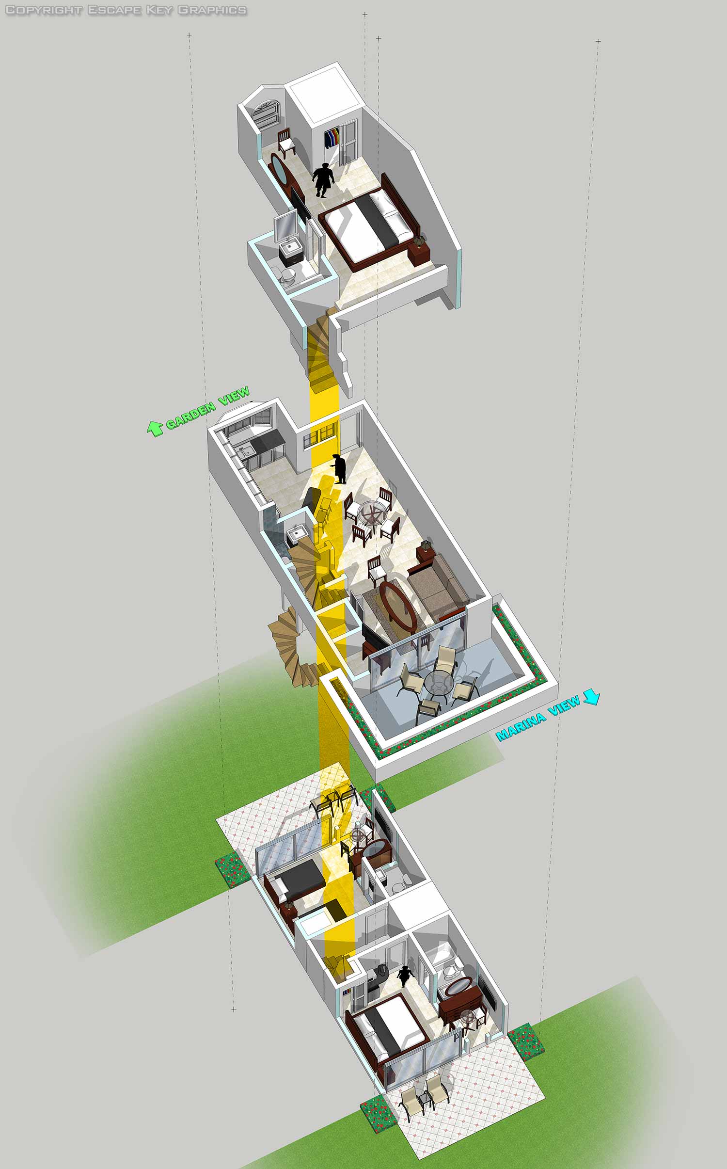 SketchUp Pro is a professional 3D modeling software for creating accurate and visually engaging spatial illustrations. I integrate this technical tool into my illustration workflow to build precise digital models that serve as the foundation for custom maps, architectural views, and detailed technical artwork.
My use of SketchUp began over a decade ago while developing an illustrated map for a major boat show. I needed a more efficient method than traditional isometric drawing to capture complex maritime environments with accuracy. This project demonstrated the software's unique value for illustration, leading me to adopt it as a core tool. I now use SketchUp Pro routinely to construct everything from individual buildings and urban streetscapes to entire site maps, ensuring every element in a composition is proportionally correct and spatially coherent.
The primary strength of SketchUp in my practice is its ability to bridge technical precision and artistic vision. A model created in SketchUp provides a perfect three dimensional framework with accurate scale that can be rendered from different angles and at different magnifications. I then enhance this framework using Adobe Illustrator and Photoshop, applying color, texture, lighting, and stylistic details to transform a technical model into a compelling illustration. This process is particularly effective for creating illustrative wayfinding maps that are both informative and aesthetically rich, as well as for producing clear architectural renderings and technical perspectives that communicate complex information with clarity.
This portfolio showcases a range of projects where 3D modeling directly supports the final illustration. If your project requires a detailed visual representation of a place, structure, or object, I can create a custom SketchUp model tailored to your specifications. Please review the examples provided and contact me to discuss how a precision 3D illustration can serve your needs.


BROWSE MY WORK
- Illustration: Browse custom illustrations, book cover art, illustrated maps, and architectural renderings.
- Fine art: View original paintings and drawings, the Custom Halftone Series, and mural commissions.
- Graphic design & motion: See design projects, then watch motion reels and animated pieces.
- Maps by use case: Explore illustrated maps created for boat shows, resorts, marinas, real estate, transportation & parking, cities & towns, parks, and wayfinding.
- Specialty projects: Also check out cover design, vinyl & vehicle wraps, proposal renderings, and street art.
- Style & technique: Discover vector, isometric, painterly, monochrome, data-driven, bird's-eye, and halftone approaches.
- Tools I use: Everyday software includes Photoshop, Illustrator, SketchUp, and InDesign; motion work relies on Premiere & After Effects. Recently I have begun some work using AI as well.