
Real Estate Illustrated Maps Portfolio
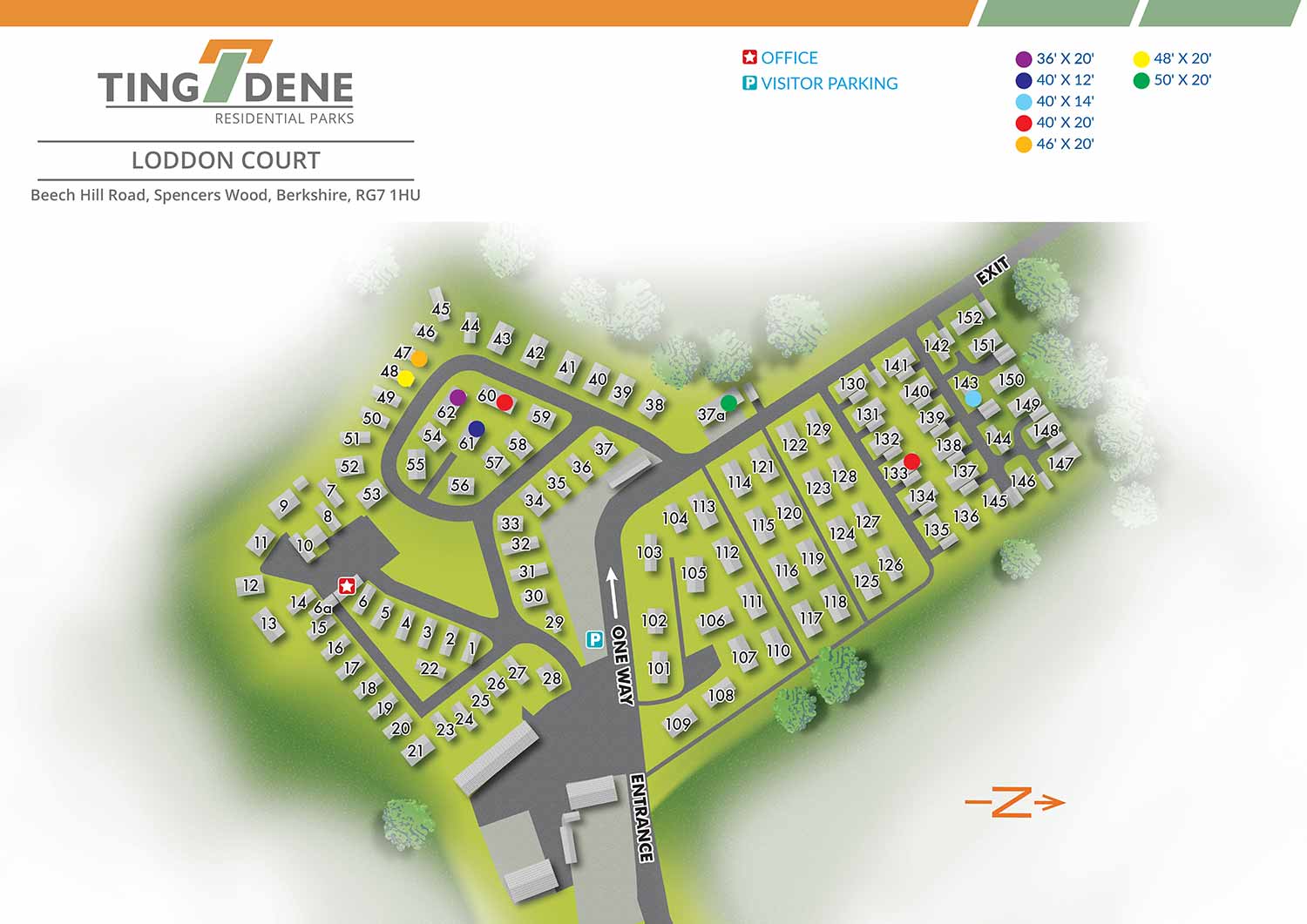
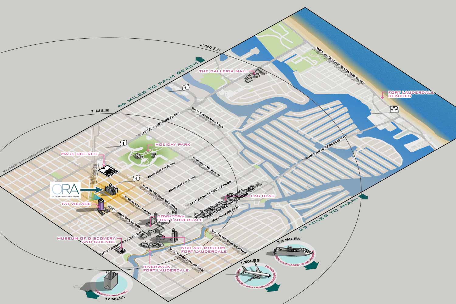
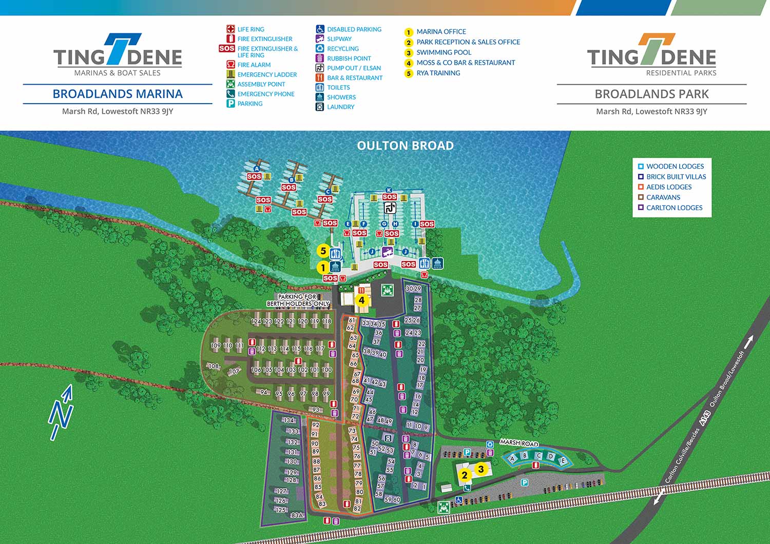
Each map is carefully tailored to the property and its audience. Whether the goal is to showcase a luxury residential development, a resort-style condominium, or a rental property including short-term vacation rentals, I work closely with clients to understand the site, the surrounding neighborhood, and the most important selling points. The resulting illustrations provide a clear, easy-to-understand view of the property while emphasizing its distinctive character, making them an invaluable tool for marketing materials, websites, presentations, and on-site sales offices.
My process combines precision and artistry. I create scale drawings and, when appropriate, three-dimensional models to ensure that buildings, roads, and landscaping are represented accurately. From there, I layer artistic detail, color, and perspective to produce a map that is not only informative but also visually striking. This approach ensures that prospective tenants, buyers, investors, and guests can easily understand the property layout while being captivated by its aesthetic presentation.
These illustrated maps are versatile and can be adapted for a range of applications, including printed brochures, digital media, on-site signage, and interactive platforms. By providing a clear and memorable representation of a property, they help streamline rentals and sales, improve client engagement, and elevate the overall presentation of a real estate project.
At Escape Key Graphics, my real estate maps are designed to inform, inspire, and persuade. Each map combines clarity, artistry, and practical utility to create a marketing asset that supports sales, attracts renters and guests, and strengthens the visual identity of your property or development.
Also see Marina Maps
REAL ESTATE MAPS:


TINGDENE RESIDENTIAL PARK MAPS:


PORTFOLIOS
- Illustration Portfolio: Start here for custom illustration and book covers. You can also browse illustrated maps and architectural rendering.
- Fine Art: I offer original paintings and drawings, including my Custom Halftone Series. You will also find mural work here.
- Graphic Design & Motion: View my graphic design portfolio. After that, explore motion design and animated illustrations.
- Maps by application: I create illustrated maps for boat shows, resorts, marinas, real estate, transportation, transit and parking, towns and cities, parks, and wayfinding.
- Additional project types: I also produce cover illustration, vehicle and vinyl wraps, proposal renderings, and street art.
- Illustration methods: My techniques include vector, isometric and axonometric, painting, black and white, GeoData maps, overhead maps, and custom halftones.
- Software portfolios: I work primarily in Adobe Photoshop, Adobe Illustrator, SketchUp Pro, and Adobe InDesign. For motion projects, I use Premiere Pro and After Effects.