
Sign Design Portfolio: Sign Designs and Illustrations used on Signs

Designed Signs and Signs Built Around My Work
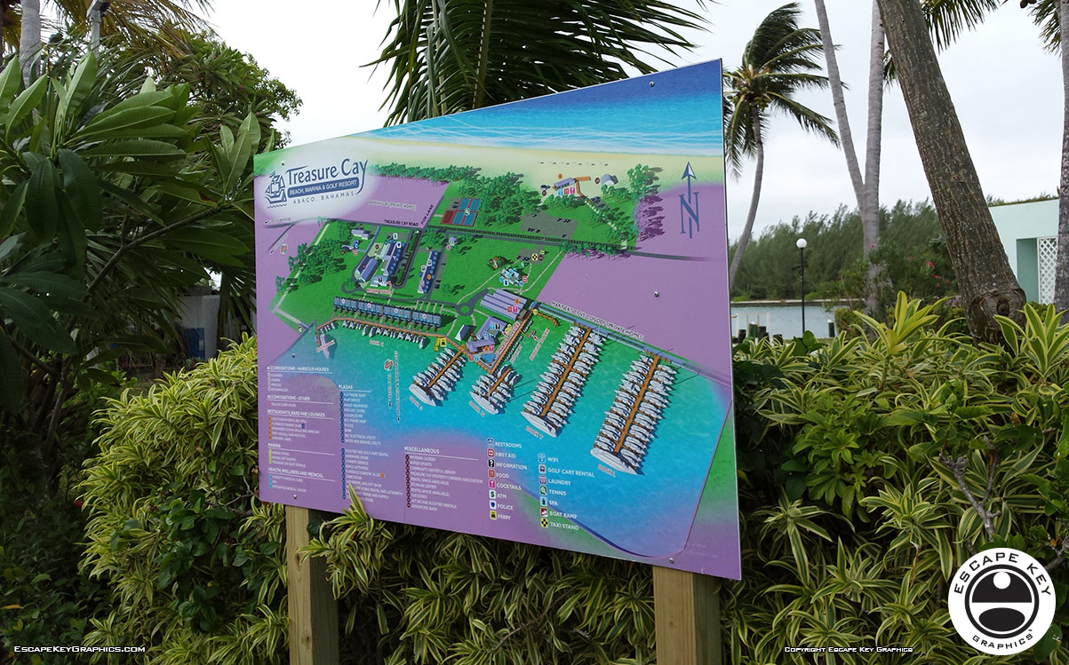
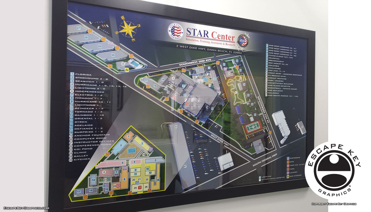
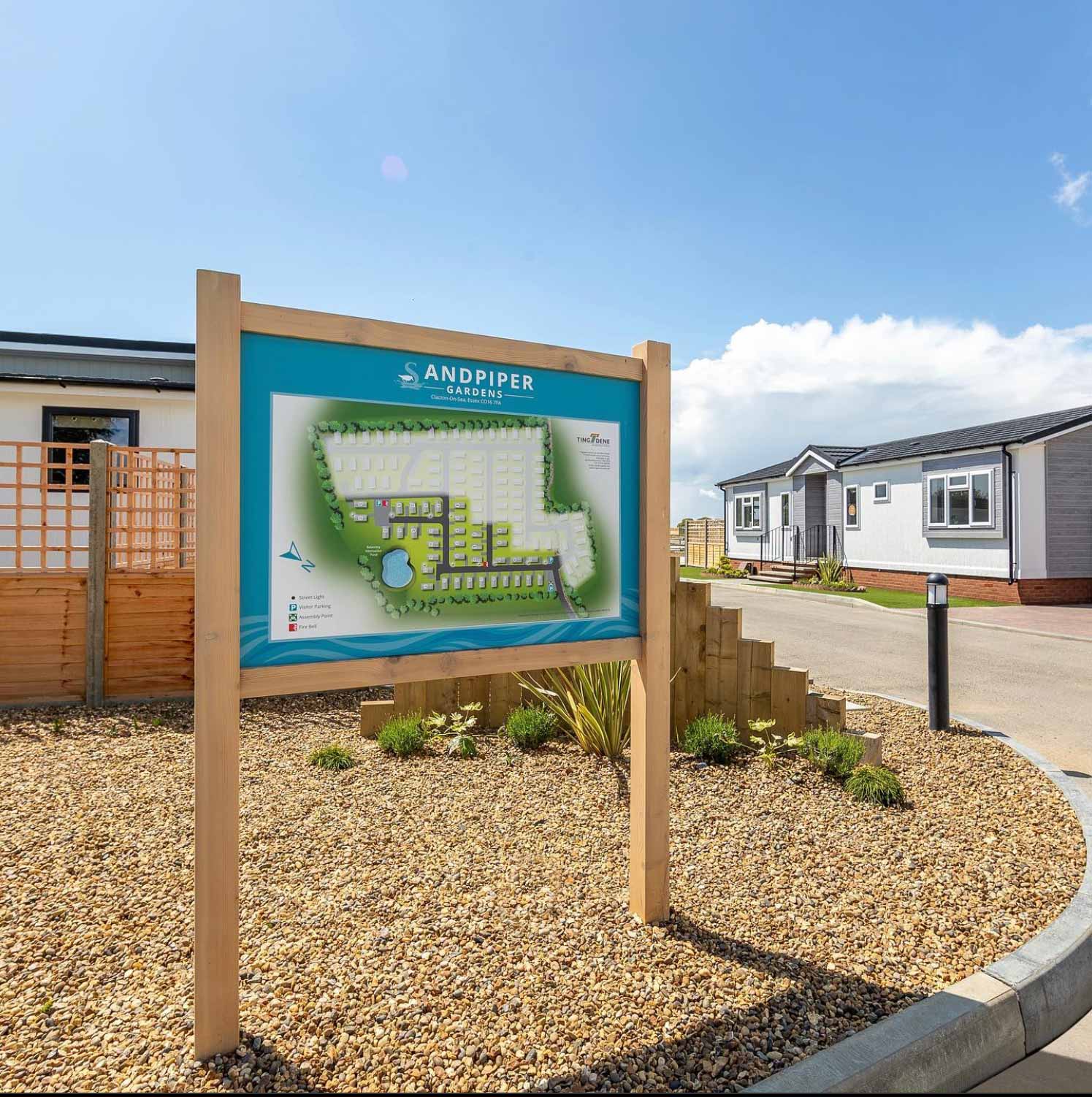
The sign work in this portfolio falls into two related categories. The first is signage I designed from the ground up, from the initial layout to the final artwork. The second is signage that uses my illustration or map work as its primary visual component. In both cases, the goal is the same: clear information that holds up outdoors, at a distance, and in bad weather.
Event and Venue Signage
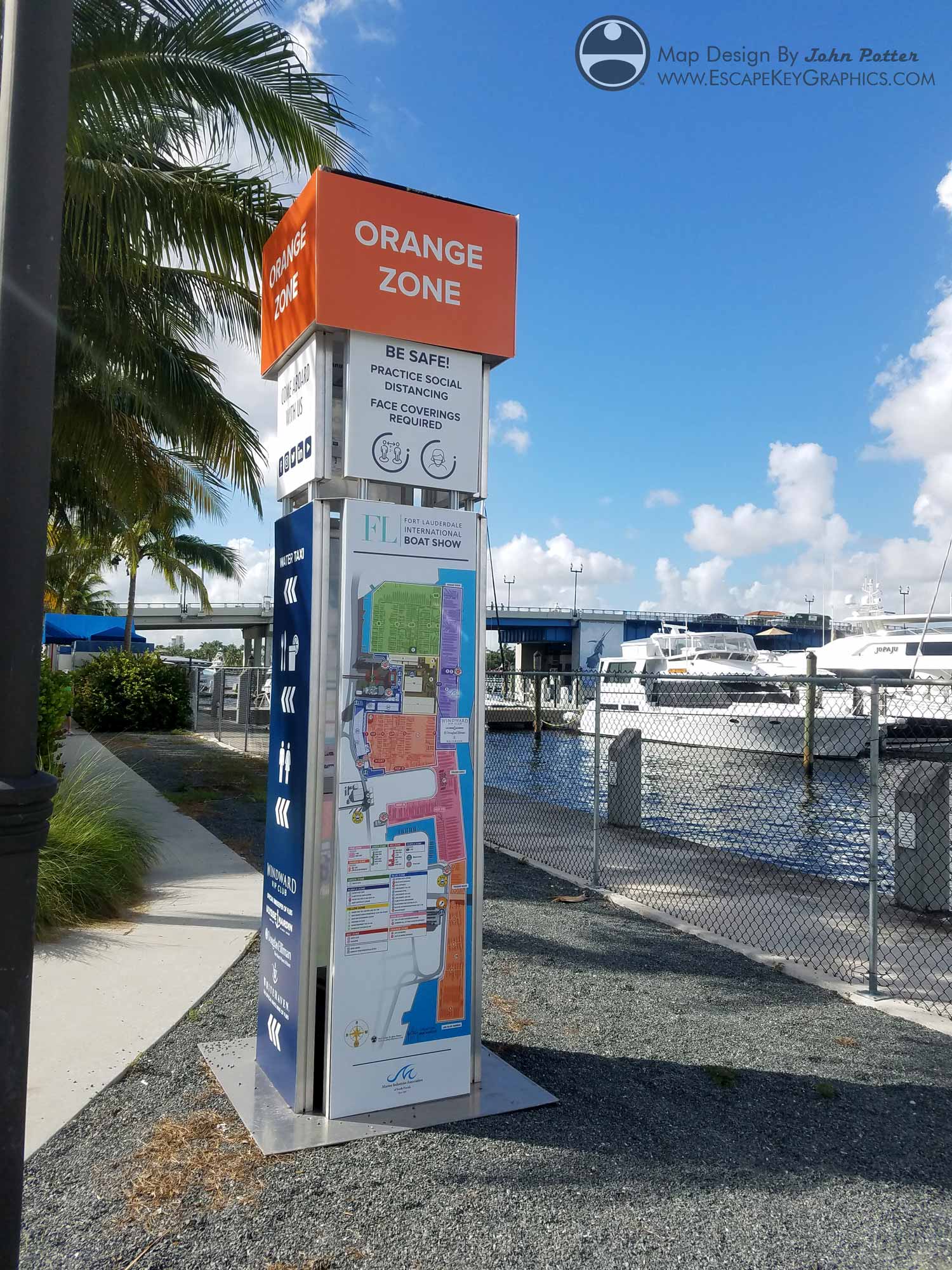
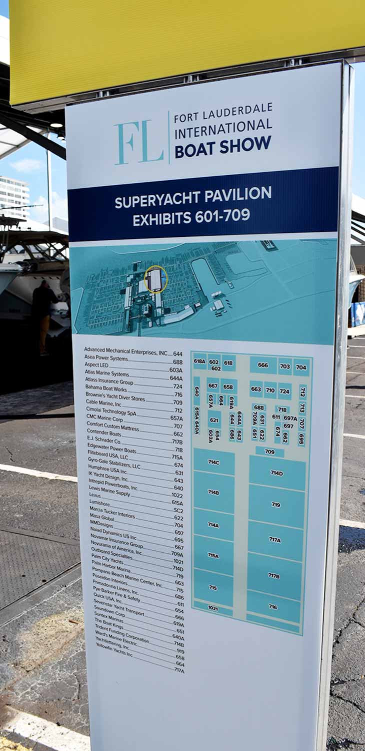
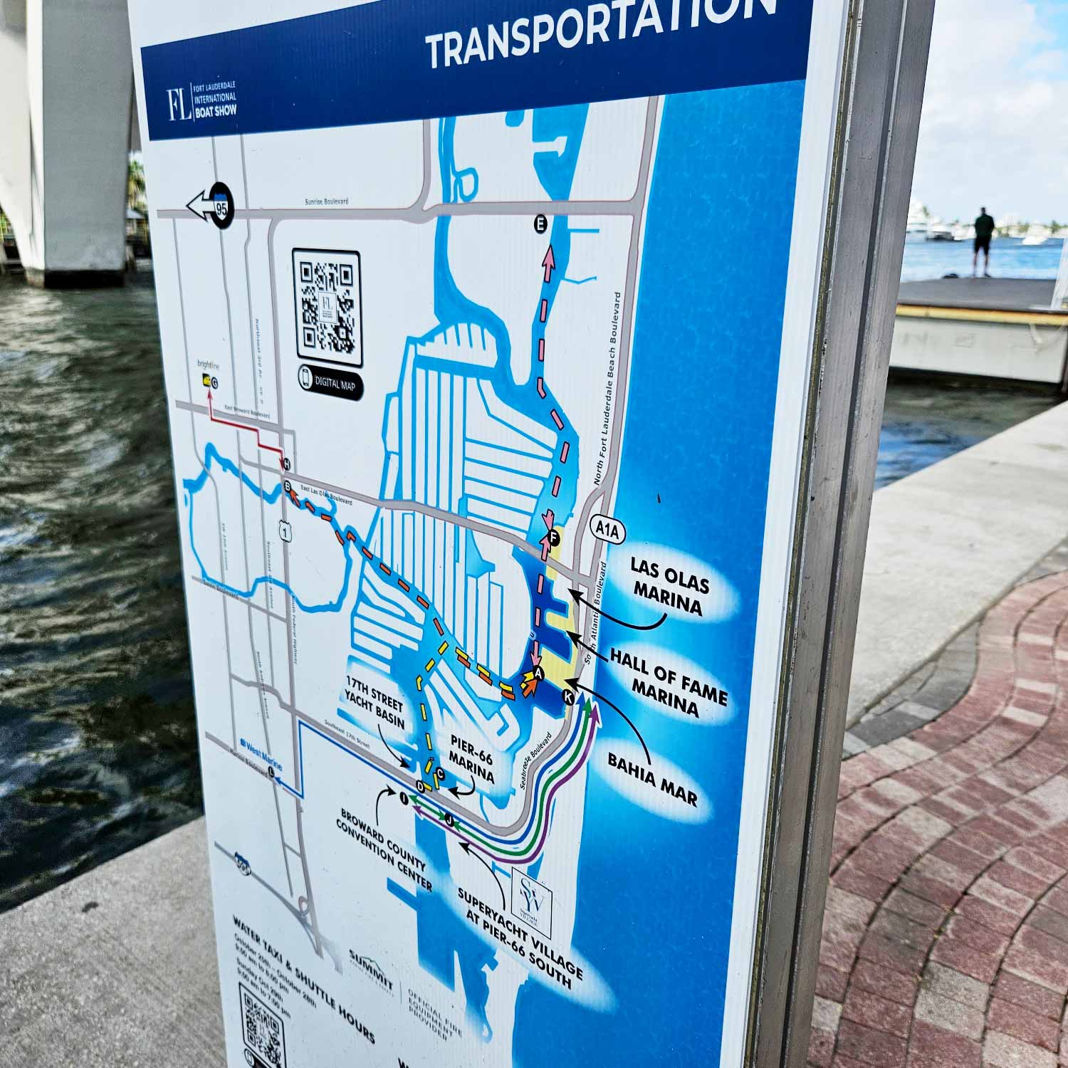
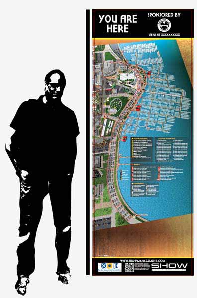
A good deal of my sign work comes out of the event and venue projects I already handle. The Fort Lauderdale International Boat Show is a clear example. I have produced the exhibitors pavilion maps for the land based exhibitors, and those layouts carried directly into printed and displayed signage around the show grounds. The same information architecture that makes the map readable on paper has to work on a sign panel, where viewers have seconds, not minutes, to find their location.
Signs Featuring My Maps and Illustrations
Some signs are built around a single piece of artwork. Resort maps are a natural fit here. The Wahous Wilderness Lodge resort map and the map of The Sanctuary at Four Seasons Resort Lanai were both created as illustrated pieces with strong topographic and informational detail. Work like this translates well to large format signage, where the illustration becomes the sign itself rather than decoration on top of it.
Maps That Become Working Tools
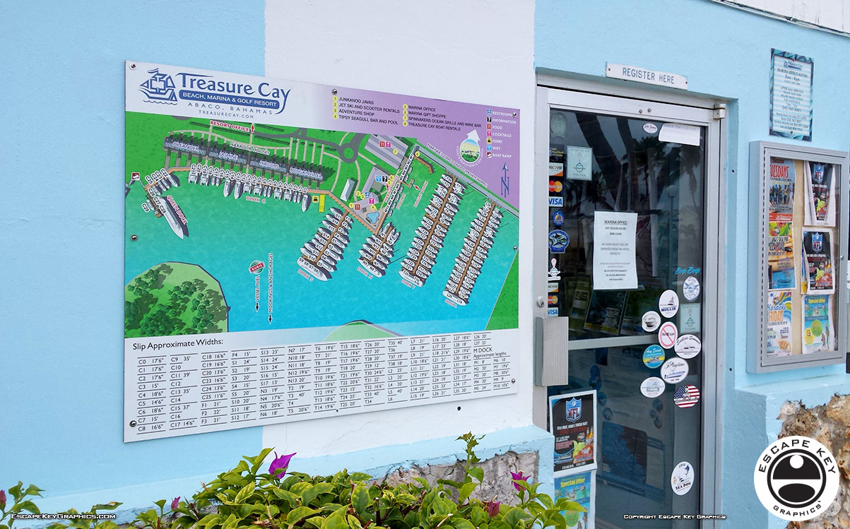
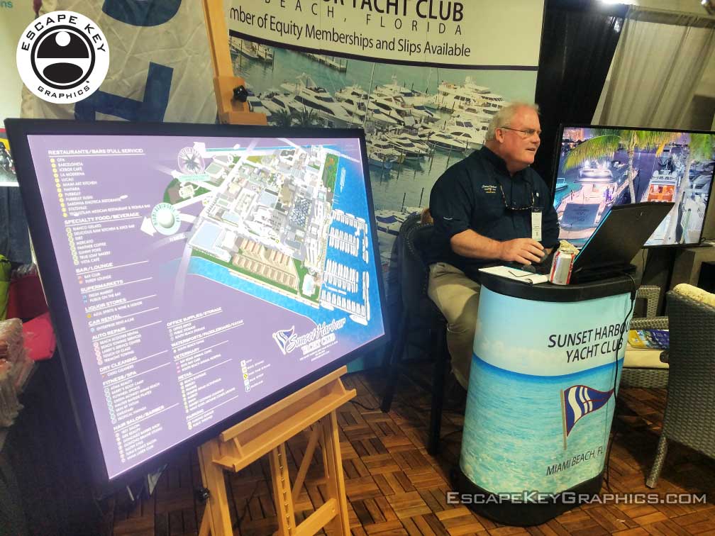
Some marinas use signs made from my maps for marina management purposes, which makes those maps part of the everyday work of running the docks. These are usually magnetic signs, with magnets standing in for the boats, or dry erase surfaces that staff can write on and wipe clean. A map that starts as an illustration ends up as a daily reference for slip assignments and boat locations.
Maps as the Foundation
The map work behind these signs is not generic. Each project starts with the actual layout of the property, the actual roads and paths, and the actual points a visitor needs to find. The 2026 Newport International Boat Show map is a working navigation tool, and the tent maps are the same idea applied at a smaller scale. That same approach carries into any sign that uses the map as its main element.
Design and Production Background
I have hands on experience with the technical side of sign production, including manual color separation, vinyl cutting, and operating vinyl printers and sign shop equipment. That background shapes how I prepare artwork for signs. Files are built with the output method in mind, whether the sign is printed, cut, or assembled from multiple layers.




Also see:


PORTFOLIO SELECTIONS
- Custom illustration & covers: Featuring bespoke illustration, book and magazine covers, hand-drawn maps, and building renderings.
- Fine art & murals: Including one-of-a-kind paintings and drawings, the Custom Halftone Series, and large-scale murals.
- Design & motion media: Covering graphic design, plus video and motion and animated illustration.
- Mapping by application: Tailored maps for marine events, hospitality, waterfront, property, transit, municipal, recreation, and navigation needs.
- Additional creative work: Includes editorial covers, vehicle graphics, concept renderings, and public art.
- Mediums & formats: Ranging from digital vector and isometric projection to traditional paint, line art, GIS-based, aerial-style, and halftone.
- Software expertise: Proficient in Photoshop, Illustrator, SketchUp, InDesign, and Premiere/After Effects for motion.