Maps of cottages for rent and sale in Ontario resorts
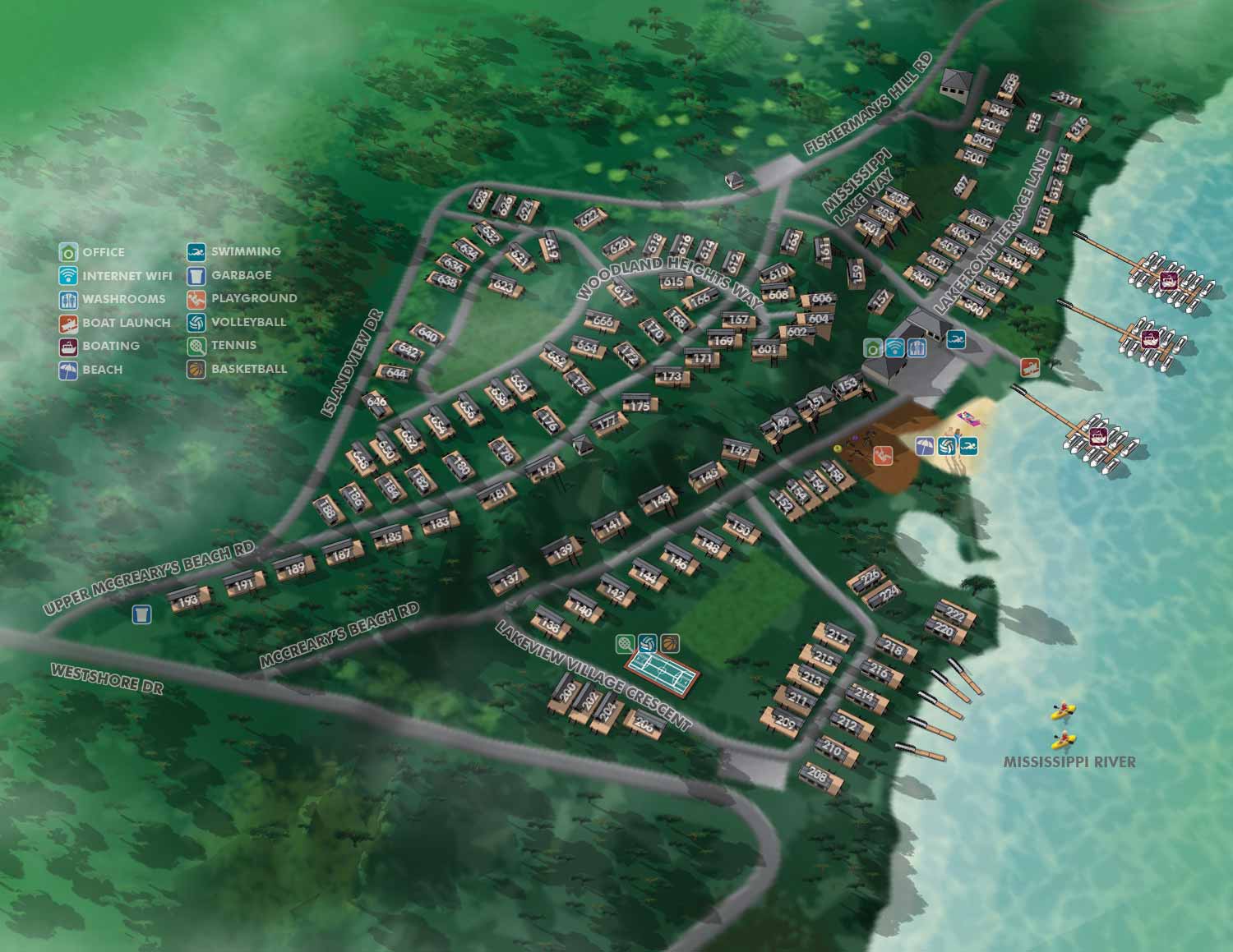
For several years, Great Blue Resorts was one of my primary clients. I created illustrated maps for many of the properties they owned or represented across Ontario. These resorts offered guests all inclusive amenities like beaches, multi sport courts, playgrounds, and family entertainment. They also featured professionally designed, move in ready cottages that came fully furnished with appliances and décor. The idea was to provide the comfort of home with the ease of low maintenance resort living, all surrounded by natural beauty and outdoor activities for every age.
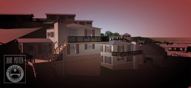
My role was to help guests find their way. I created maps that made it easy to locate specific cottages within each resort and to spot amenities and facilities at a glance. Everything was built using illustrated maps based on three dimensional digital models. The goal was always the same. Give people a clear, useful tool that makes their stay better from the moment they arrive.
The properties I worked on included Bellmere Winds Golf Resort, McCreary's Beach Resort, Vine Ridge Resort, Cherry Beach Resort, Woodland Estate Resort, Lantern Bay Resort, and Shamrock Resort. Each one had its own layout and character, and each map was built from the ground up to match.
If you manage a resort, a golf course, or a mixed use property and need a clear, useful illustrated map, contact me. I have done this work before and I can do it for you.


PORTFOLIOS
- Illustration Portfolio: Start here for custom illustration and book covers. You can also browse illustrated maps and architectural rendering.
- Fine Art: I offer original paintings and drawings, including my Custom Halftone Series. You will also find mural work here.
- Graphic Design & Motion: View my graphic design portfolio. After that, explore motion design and animated illustrations.
- Maps by application: I create illustrated maps for boat shows, resorts, marinas, real estate, transportation, transit and parking, towns and cities, parks, and wayfinding.
- Additional project types: I also produce cover illustration, vehicle and vinyl wraps, proposal renderings, and street art.
- Illustration methods: My techniques include vector, isometric and axonometric, painting, black and white, GeoData maps, overhead maps, and custom halftones.
- Software portfolios: I work primarily in Adobe Photoshop, Adobe Illustrator, SketchUp Pro, and Adobe InDesign. For motion projects, I use Premiere Pro and After Effects.