
What Are Wayfinding Maps?
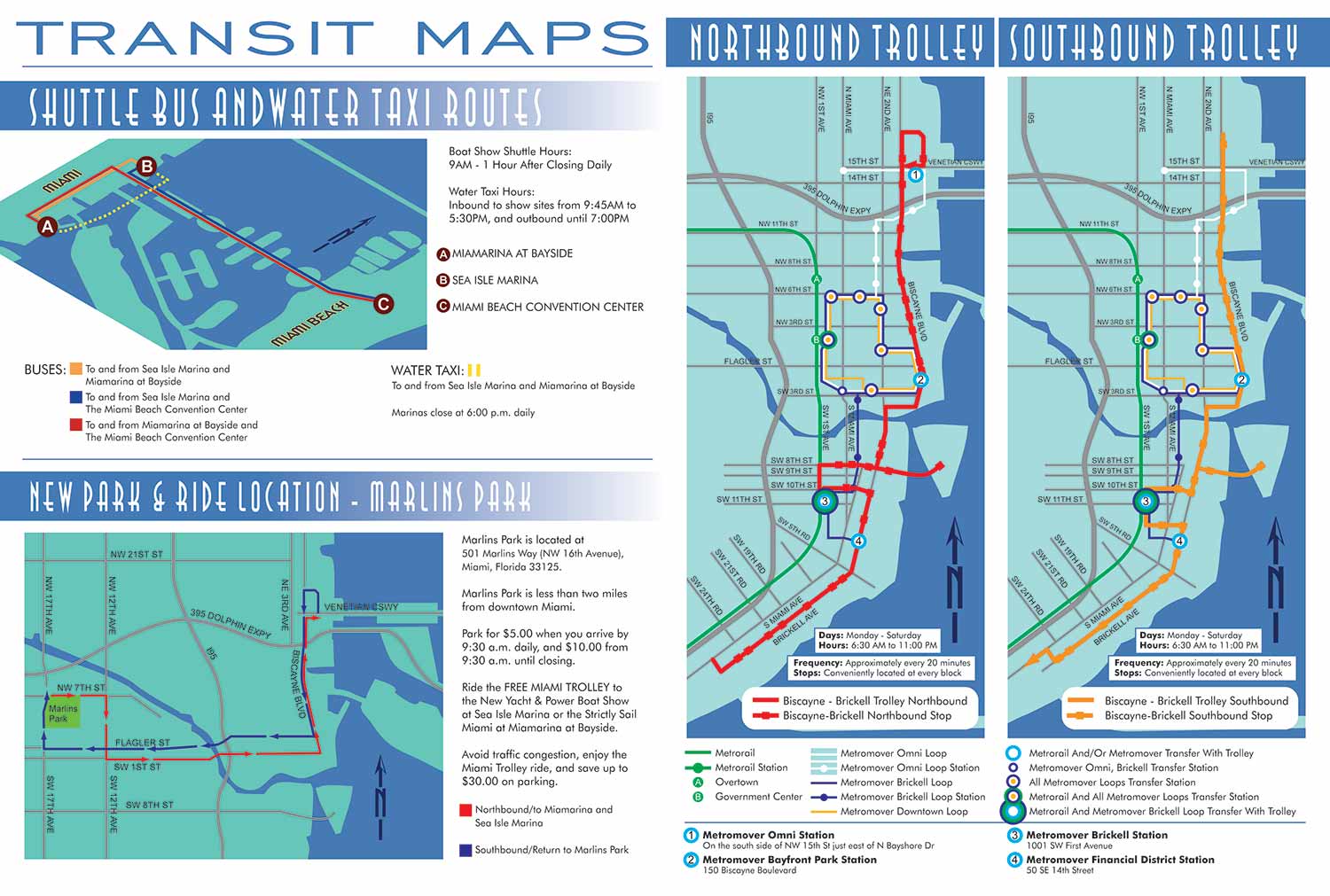

Wayfinding maps are specialized tools designed to help people navigate complex environments intuitively and confidently. Unlike a basic site plan that simply shows the location of buildings or features, a wayfinding map is an information system. It prioritizes the user’s journey, transforming confusing spaces into clear, legible landscapes. By thoughtfully integrating directional cues, landmarks, and clear hierarchies of information, these maps do more than point from A to B. They reduce stress, enhance accessibility, and create a more positive overall experience within a campus, hospital, city district, or large facility.
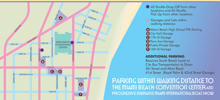
At Escape Key Graphics, I focus on crafting wayfinding maps that are both visually engaging and functionally precise. A successful map balances aesthetic clarity with practical utility. This involves careful consideration of typography, color coding, iconography, and simplified geography that emphasizes paths and decision points. The goal is to create a seamless visual narrative that guides the visitor naturally, allowing them to focus on their destination rather than deciphering the map itself. Good wayfinding is invisible; it works so intuitively that users feel guided without conscious effort.
Implementing an effective wayfinding system is a strategic investment in your property’s usability and brand perception. For businesses, institutions, and public spaces, it signals respect for visitors’ time and comfort. Well-designed maps can alleviate congestion and improve safety. They serve as silent ambassadors, reinforcing your site’s identity and values through consistent, professional design. If your visitors or staff are spending more time navigating than engaging, it may be time to examine your current wayfinding strategy.
Explore my portfolio at EscapeKeyGraphics.com to see how tailored wayfinding map design can transform navigation within your unique space. Let’s discuss how I can help you create a more navigable and welcoming environment.




BROWSE MY WORK
- Illustration: Browse custom illustrations, book cover art, illustrated maps, and architectural renderings.
- Fine art: View original paintings and drawings, the Custom Halftone Series, and mural commissions.
- Graphic design & motion: See design projects, then watch motion reels and animated pieces.
- Maps by use case: Explore illustrated maps created for boat shows, resorts, marinas, real estate, transportation & parking, cities & towns, parks, and wayfinding.
- Specialty projects: Also check out cover design, vinyl & vehicle wraps, proposal renderings, and street art.
- Style & technique: Discover vector, isometric, painterly, monochrome, data-driven, bird's-eye, and halftone approaches.
- Tools I use: Everyday software includes Photoshop, Illustrator, SketchUp, and InDesign; motion work relies on Premiere & After Effects.