
Overhead Maps Portfolio
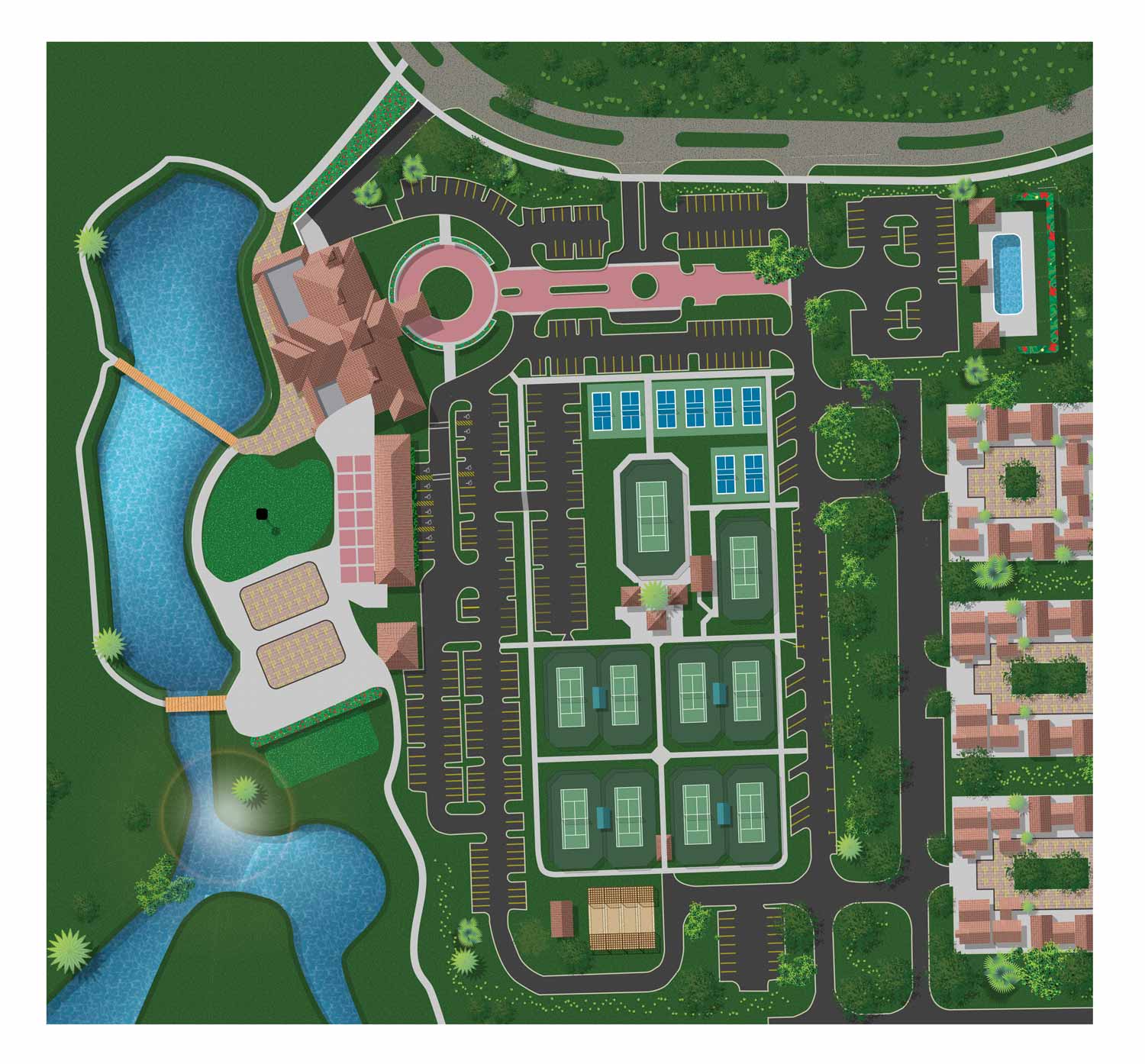
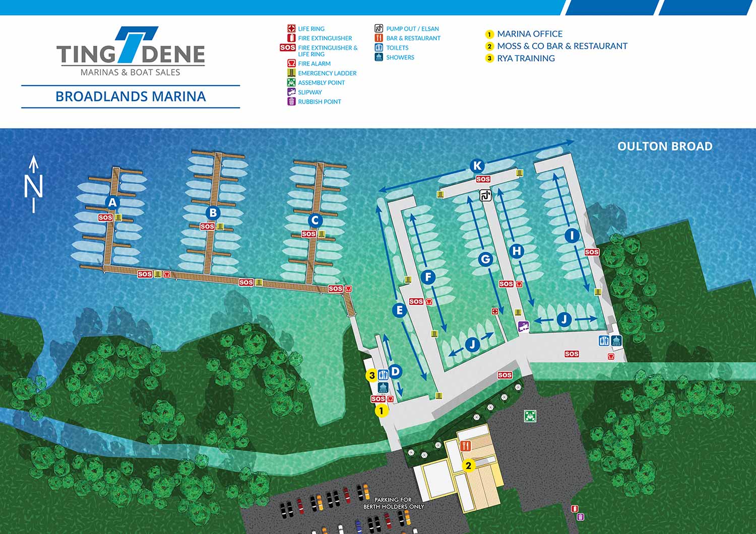
Overhead maps are especially effective for real estate for instance. When labeling multiple features, streets, or points of interest, a top-down view allows for optimal use of space while keeping the map clear and easy to read. By avoiding perspective, these maps help viewers quickly understand the layout of a property, neighborhood, or site without distraction.
In many cases, I enhance overhead maps with elements of illustration, selective 3D rendering, and thoughtful use of color and texture. These details bring energy and personality to the map while maintaining readability and accuracy. For maps that require precise street layouts or dense information, I often incorporate geodata to improve accuracy and efficiency, resulting in maps that are both reliable and visually appealing. You can learn more about that here.
Whether you need a straightforward overhead map, a map with subtle illustrative details, or a hybrid approach that combines clarity and creativity, I create maps that effectively communicate information while reflecting the character of the site and the needs of its users.
OVERHEAD MAPS:


TINGDENE RESIDENTIAL PARK MAPS:


TINGDENE MARINA MAPS:


PORTFOLIOS
- Illustration Portfolio: Start here for custom illustration and book covers. You can also browse illustrated maps and architectural rendering.
- Fine Art: I offer original paintings and drawings, including my Custom Halftone Series. You will also find mural work here.
- Graphic Design & Motion: View my graphic design portfolio. After that, explore motion design and animated illustrations.
- Maps by application: I create illustrated maps for boat shows, resorts, marinas, real estate, transportation, transit and parking, towns and cities, parks, and wayfinding.
- Additional project types: I also produce cover illustration, vehicle and vinyl wraps, proposal renderings, and street art.
- Illustration methods: My techniques include vector, isometric and axonometric, painting, black and white, GeoData maps, overhead maps, and custom halftones.
- Software portfolios: I work primarily in Adobe Photoshop, Adobe Illustrator, SketchUp Pro, and Adobe InDesign. For motion projects, I use Premiere Pro and After Effects. You can watch my demo reel here.