Map for the Palm Beach International Boat Show - 2026
Illustration and Design by John Potter - Escape Key Graphics
Client: Informa Markets
Client: Informa Markets
For all the latest event information and to be sure you are looking at the latest map revision please visit the official site of the boat show.
If you are interested in hiring me to create an original map or illustration for you please contact me.


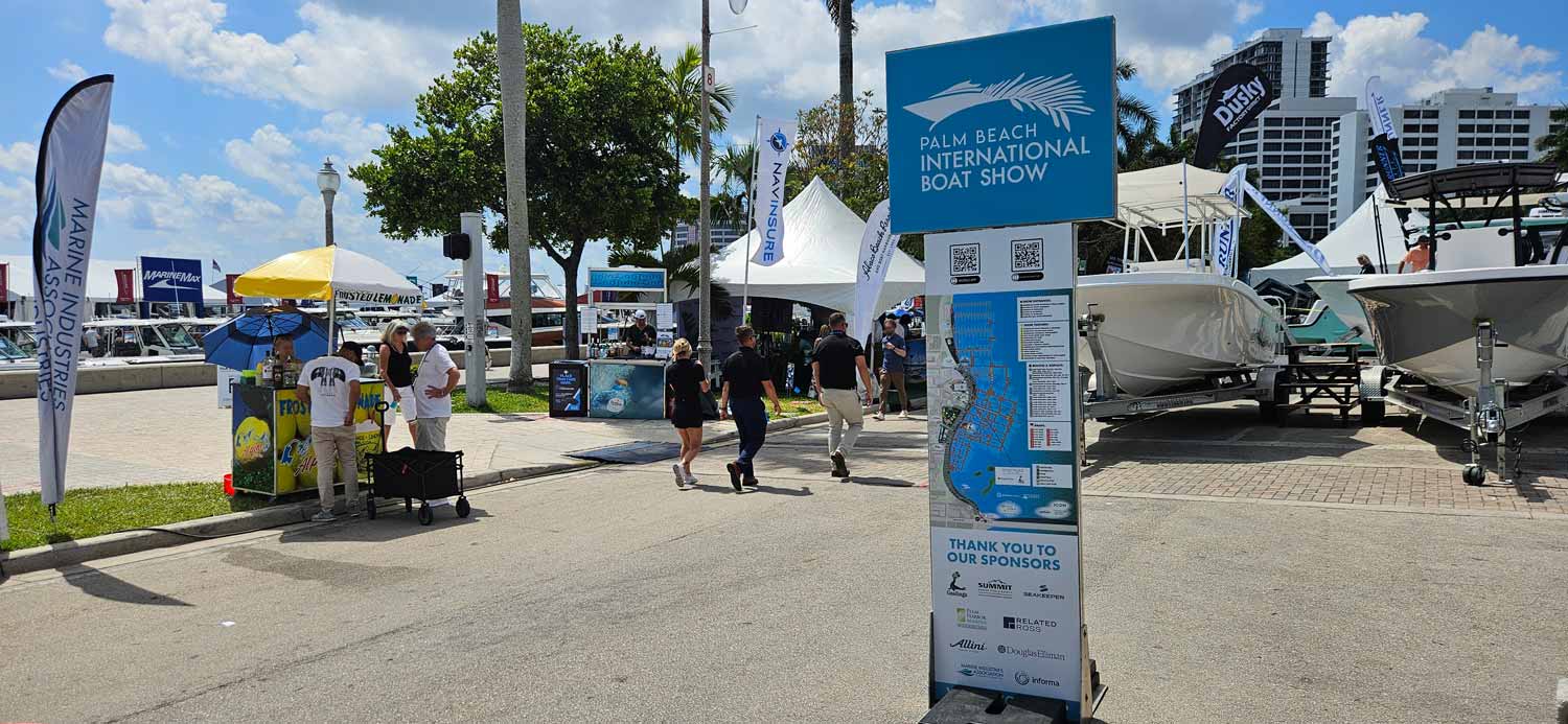
The Palm Beach International Boat Show runs March 25 through 29, 2026, in West Palm Beach, Florida. It draws around 55,000 attendees and generates more than a billion dollars in economic impact. Over 600 brands exhibit, with more than a thousand boats in the water and on land. I have attended this show many times and it is probably my favorite. Parking is convenient and there are plenty of dining options nearby, which makes for a relaxing day out.
This map, like most of my boat show maps, is built on a digital three dimensional model (I created this one in 2013). That model covers this area of downtown West Palm Beach, including the waterfront and the neighboring buildings and streets. Each year I update the locations of floating docks and exhibitor spaces on the model. I then render it from the desired angle, retouch and refine in Photoshop, and finally update logos, map keying, and all other graphics in Adobe Illustrator.
The process involves multiple rounds of refinement. Clients supply revisions along the way, and this year I saved over forty versions of this specific map (not including changes to the 3D model) before we reached final approval. That level of iteration reflects the attention to detail we all bring to the project.
This year saw focused updates rather than major overhauls. We made the transportation icons black and white to match the look of the other icons. The client requested that I move the facilities icon key closer to the other map keys for better visual grouping. I also increased the opacity of white areas to create more continuity with the Fort Lauderdale International Boat Show map, though I later adjusted this when road labels began to feel disconnected from the background. These refinements illustrate an important point. Different shows require different treatments. There is no universal approach to map making.
I completed this project for Informa Markets. Several sponsors supported the effort. Palm Harbor Marina, which covers the northern section of the map, has been a longtime partner. SYS Yacht Sales, ICON Electric Vehicles, and Summit Fire & Security also contributed, along with others. Their participation helps make the map possible year after year.
Each year I also produce a vertical version of this map for use on signs. This requires separate renderings and a reorientation of the whole composition, but the same three dimensional model and map keying serve as the foundation. It keeps the visual language consistent across formats.
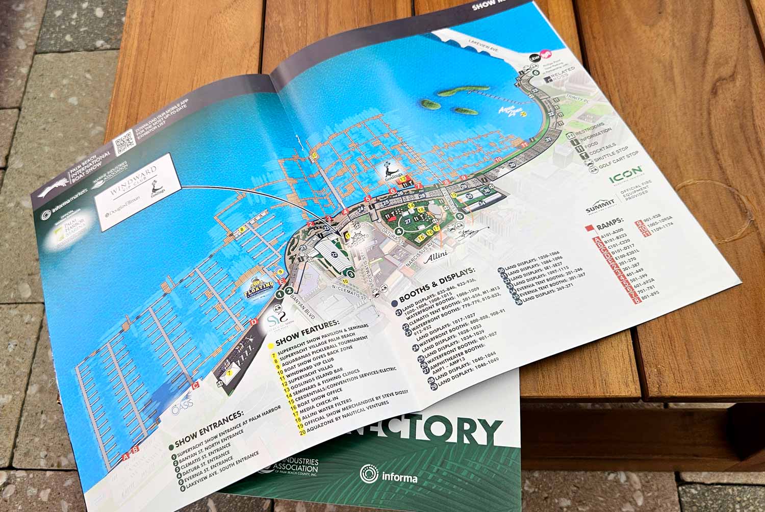
This map appears online, in the printed program, and on signage throughout the show. It serves as both a wayfinding tool and a marketing piece. Before the event starts, it gives prospective visitors concrete information about the layout, helping them visualize the experience and plan their day. It provides real data about an event that has not yet happened.
If you need a map for a boat show, an event, or any other venue that requires clear, detailed, and visually consistent navigation, contact me. I have done this work before and I would be glad to do it for you.


