Project Spotlight: The 2019 Fort Lauderdale International Boat Show Marinas Map
Client: Informa Markets


Map for the Fort Lauderdale International Boat Show 2019
This illustrated map for the Fort Lauderdale International Boat Show provides a cohesive and engaging overview of the event’s primary venues along the iconic 17th Street Causeway. First created for the 2016 show, this map was reintroduced in 2019 after a strategic pause, representing the culmination of several years of digital asset development.
During the 2017 and 2018 events, the map itself was not published in its original form. However, the sophisticated three-dimensional digital model built to create it remained an essential tool. We utilized this model to generate updated, detailed maps of each individual marina, replacing the older axonometric vector art previously in use. This process demonstrated the model’s inherent versatility and long-term value. Maintaining a single, authoritative digital source for all cartographic assets streamlines revisions and guarantees consistency across every associated map generated.
The 2019 version featured a deliberate design evolution. A slightly tighter crop focused the viewer’s attention more intimately on the marinas and their bustling docks, signaling a shift in emphasis from the broader geographic setting to the heart of the show experience. User experience was also enhanced in the printed Z Card guides, where navigational menus were placed in dedicated sidebar columns. This layout kept the map itself clean and immediately readable while organizing information logically. A clear visual hierarchy was established on the map: luxury amenities within the exclusive Superyacht Village were marked with lettered red dots, while general points of interest were identified with numbered yellow dots.
The Strategic Advantage of Illustrated Event Maps
In the planning and promotion stages of a major event, marketing materials often rely on aspirational lifestyle photography and bold design. While these elements build energy, they cannot convey the practical layout and specific offerings of the event itself. This is where illustrated maps provide a significant strategic advantage.
They allow organizers to present accurate, detailed, and visually compelling information long before the event opens. These maps serve a dual purpose. Firstly, they are critical operational tools during the event, guiding attendees through the venue via signage, printed guides, and mobile-optimized digital files. Secondly, they function as powerful pre-event marketing assets. A well-crafted map builds anticipation, enables potential guests to visualize their visit, and helps attract a wider audience by concretely showcasing the event's scale and allure.
At Escape Key Graphics, we specialize in transforming complex event logistics into clear, attractive, and useful maps. Our work for the Fort Lauderdale International Boat Show exemplifies how custom cartography can support both marketing objectives and onsite navigation, creating a more informed and engaged experience for every attendee.
Explore our portfolio to see how we can bring clarity and vision to your next event.
To see examples of the detailed, individual marina maps, please explore other projects within my Maps Portfolio.
Fort Lauderdale International Boat Show Maps:
- About Fort Lauderdale International Boat Show
- Bahia Mar, Swimming Hall of Fame & Las Olas Marina Maps: 2025 | 2024 | 2023 | 2022 | 2020 | 2019 | 2018 | 2017 | 2016 | 2015 | 2014 | 2013 | 2012 | 2011 | 2010
- Parking and Transportation Maps: 2025 | 2024 | 2023 | 2022 | 2020 | 2019 | 2018 | 2015 Bus | 2015 Water Taxi | 2014 | 2013 | 2012 | 2011
- Broward County Convention Center Maps: 2025 | 2024 | 2023 | 2022 | 2017 Sailfish Pavilion | 2017 | 2016 Sailfish Pavilion | 2016 | 2015 Sailfish Pavilion | 2015 | 2014 Sailfish Pavilion | 2014 | 2013 Sailfish Pavilion | 2013 | 2012 | 2011 | 2010
- Marinas Maps: 2025 | 2024 | 2023 | 2022 | 2019 | 2016
- Program Layouts: 2025 | 2024 | 2023 | 2022
- Signs: 2013 looking north | 2013 Yachting Tent
- Video: 2013 54th Annual
- Illustrations (not maps): 2014A | 2014B
PARKING AND TRANSPORTATION MAPS:


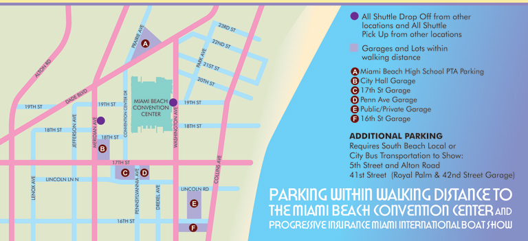

TRANSIT, PARKING AND TRANSPORTATION MAPS:
These maps are often presented from a direct overhead perspective, giving them a familiar appearance similar to the street maps many people use in their cars. Accuracy, clarity, and selective emphasis are essential, as these maps are frequently used in real time, often while navigating busy streets or parking areas. I tailor the level of detail to each client's needs, including only the elements that are most useful for users, ensuring that finding the right location is always intuitive and straightforward.
In many recent projects, I have incorporated geospatial data to produce maps in a more conventional cartographic style. Complex sites with dense street networks, multiple access points, or high volumes of features require reliable external data sources to ensure efficiency and accuracy. Even when using this data, I apply my own illustrative approach to enhance readability, highlight key locations, and maintain a consistent visual identity that aligns with the client's goals.
There are also cases where a three-dimensional perspective is advantageous. A 3D view can provide a more realistic understanding of a site, helping viewers visualize parking areas, transit hubs, and landmarks in context. In locations dominated by prominent features or architectural highlights, this perspective can make orientation easier and offer users a more immersive, intuitive experience than a standard overhead view.
Whether presented in 2D or 3D, these maps are designed to simplify navigation, improve user confidence, and support the operational and marketing goals of transportation, parking, and transit organizations. By combining precision, clarity, and visual appeal, they provide an essential tool for both staff and visitors.
PORTFOLIOS
- Illustration Portfolio: Start here for custom illustration and book covers. You can also browse illustrated maps and architectural rendering.
- Fine Art: I offer original paintings and drawings, including my Custom Halftone Series. You will also find mural work here.
- Graphic Design & Motion: View my graphic design portfolio. After that, explore motion design and animated illustrations.
- Maps by application: I create illustrated maps for boat shows, resorts, marinas, real estate, transportation, transit and parking, towns and cities, parks, and wayfinding.
- Additional project types: I also produce cover illustration, vehicle and vinyl wraps, proposal renderings, and street art.
- Illustration methods: My techniques include vector, isometric and axonometric, painting, black and white, GeoData maps, overhead maps, and custom halftones.
- Software portfolios: I work primarily in Adobe Photoshop, Adobe Illustrator, SketchUp Pro, and Adobe InDesign. For motion projects, I use Premiere Pro and After Effects.